Transport Functions
Port
Road
Hub Profile
Place type
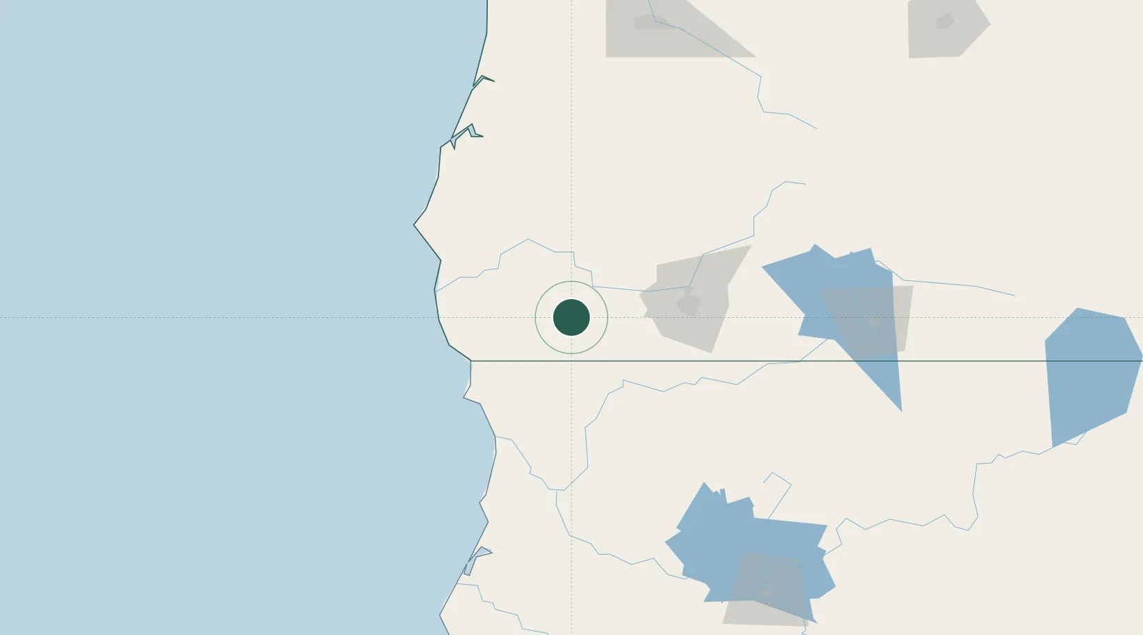
Populated place
Region
Oregon
Population
695
Time zone
America/Los_Angeles
Elevation
404 m
Location
Nearby Logistics Neighbours
Cities
- 1Rogue River40 km
- 2Gold Hill49 km
- 3Jacksonville54 km
- 4Glendale54 km
- 5Central Point58 km
Ports
- 1Crescent City76 km
- 2Port Orford90 km
- 3Bandon116 km
- 4Prosper117 km
- 5Coos Bay132 km
Airports
Trade Zones
- 1FTZ No. 132 Coos County132 km
- 2FTZ No. 248 Eureka169 km
- 3FTZ No. 255 Washington County365 km
- 4FTZ No. 045 Portland370 km
- 5FTZ No. 296 Vancouver382 km
DatabookThe Record of Consolidated Knowledge
United States beyond logistics?