UN/LOCODE hub · United States
USHOI

Harbor

42.0500°, -124.2500°
2,391
Population
1
Transport functions

Transport Functions

Multimodal
UN/LOCODE

Hub Profile

Place type
Populated place
GeoNames
Region
Oregon
GeoNames
Population
2,391
GeoNames
Time zone
America/Los_Angeles
GeoNames
Elevation
10 m
GeoNames

Location

Location of USHOI
Natural Earth 10m (public domain) · Oregon · USHOI · 42.05, -124.25GoogleOSMYandex

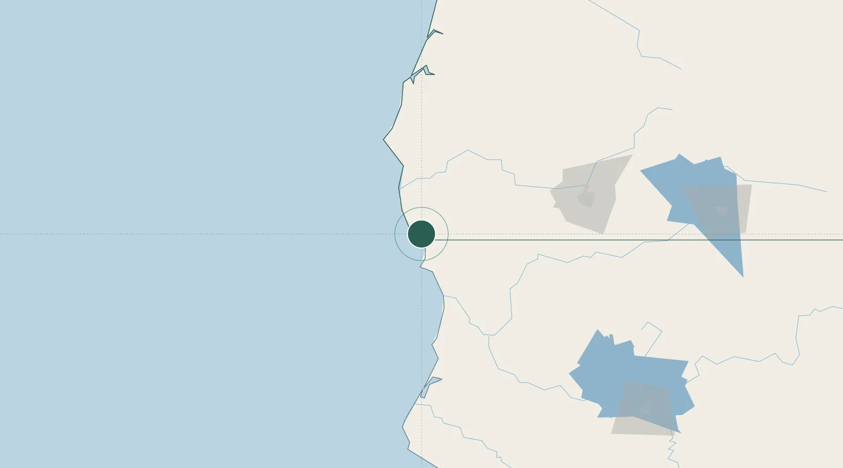
Nearby Logistics Neighbours

Cities
  1. 1Selma59 km
  2. 2Port Orford81 km
  3. 3Cape Blanco91 km
  4. 4Rogue River99 km
  5. 5Glendale102 km
Nearest neighbours — logibook spatial index (haversine) over the source coordinates
Ports
  1. 1Crescent City34 km
  2. 2Port Orford79 km
  3. 3Bandon119 km
  4. 4Prosper123 km
  5. 5Samoa137 km
Nearest neighbours — logibook spatial index (haversine) over the source coordinates
Airports
  1. 1Jack Mc Namara Field Airport30 km
  2. 2Rogue Valley International-Medford Airport119 km
  3. 3California Redwood Coast-Humboldt County Airport120 km
  4. 4Murray Field139 km
  5. 5Southwest Oregon Regional Airport152 km
Nearest neighbours — logibook spatial index (haversine) over the source coordinates
Trade Zones
  1. 1FTZ No. 248 Eureka139 km
  2. 2FTZ No. 132 Coos County147 km
  3. 3FTZ No. 255 Washington County395 km
  4. 4FTZ No. 045 Portland406 km
  5. 5FTZ No. 296 Vancouver418 km
Nearest neighbours — logibook spatial index (haversine) over the source coordinates
DatabookThe Record of Consolidated Knowledge
United States beyond logistics?
Browse databook

All Sources

LocationsUN/LOCODE
UN/LOCODE — free
LocationsGeoNames
CC BY 4.0
Portsthe NGA World Port Index
Public domain (US gov)
AirportsOurAirports
Public domain
Trade Zonesthe World Bank SEZ database
CC BY 4.0
Trade ZonesOpen Zone Map
CC BY
← United States locations