Medium airport · United States

Jack Mc Namara Field AirportKCEC

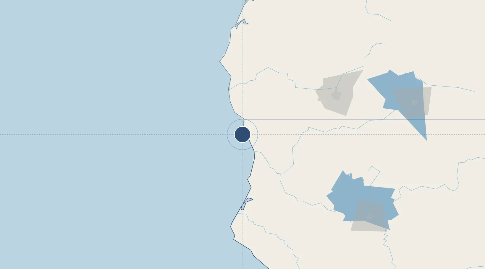
41.7789°, -124.2364°
5,002 ft
Longest runway
2
Runways
61 ft
Elevation

Runway & Layout

Jack Mc Namara Field Airport runway & taxiway layout
Runway & taxiway layout — OpenStreetMap (ODbL) / OurAirports

Radio Frequencies

ASOS
119.925 MHz
CTAF
122.8 MHz
CNTR
124.85 MHz
SEATTLE CNTR
RDO
122.3 MHz
OAKLAND RDO
UNIC
122.8 MHz
UNICOM
OurAirports

Navaids

CEC VORTAC Crescent City 109.00 MHz
OurAirports

Runways · 2

RunwayDimensions SurfaceTrue headingLit
11/29 5,002 × 150ft Asphalt 133°
17/35 5,002 × 150ft Asphalt 193°
OurAirports

Airport Specifications

IATA code
CEC
OurAirports
ICAO code
KCEC
OurAirports
Airport class
Medium airport
OurAirports
Scheduled service
Yes
OurAirports
Runway surface
Asphalt
OurAirports
Served city
Crescent City
OurAirports

Location

Location of KCEC
Natural Earth 10m (public domain) · California · KCEC · 41.78, -124.24GoogleOSMYandex

Nearby Logistics Neighbours

Airports
  1. 1California Redwood Coast-Humboldt County Airport90 km
  2. 2Murray Field109 km
  3. 3Rogue Valley International-Medford Airport131 km
  4. 4Southwest Oregon Regional Airport182 km
  5. 5Crater Lake-Klamath Regional Airport211 km
Nearest neighbours — logibook spatial index (haversine) over the source coordinates
Cities
  1. 1Harbor30 km
  2. 2Selma76 km
  3. 3McKinleyville93 km
  4. 4Port Orford110 km
  5. 5Samoa111 km
Nearest neighbours — logibook spatial index (haversine) over the source coordinates
Ports
  1. 1Crescent City4 km
  2. 2Samoa107 km
  3. 3Port Orford108 km
  4. 4Eureka109 km
  5. 5Fields Landing118 km
Nearest neighbours — logibook spatial index (haversine) over the source coordinates
Trade Zones
  1. 1FTZ No. 248 Eureka109 km
  2. 2FTZ No. 132 Coos County177 km
  3. 3FTZ No. 143 West Sacramento424 km
  4. 4FTZ No. 255 Washington County425 km
  5. 5FTZ No. 045 Portland434 km
Nearest neighbours — logibook spatial index (haversine) over the source coordinates
DatabookThe Record of Consolidated Knowledge
United States beyond logistics?
Browse databook

All Sources

AirportsOurAirports
Public domain
Portsthe NGA World Port Index
Public domain (US gov)
LocationsUN/LOCODE
UN/LOCODE — free
Trade Zonesthe World Bank SEZ database
CC BY 4.0
Trade ZonesOpen Zone Map
CC BY
InfrastructureOpenStreetMap
ODbL 1.0
← United States airports