Channel & Berth Profile
Pilotage, Tugs & Services
Pilotage compulsoryYES
Pilotage availableYES
Shore powerYES
Potable waterYES
Diesel bunkersNO
MedicalNO
Garbage disposalNO
Facilities & Capabilities
Container—
Ro-Ro—
Liquid bulk—
Dry bulk—
Oil terminal—
Break bulk—
Dry dock—
Repairs—
BunkeringNO
Rail link—
Dangerous cargo—
ISPS security—
Harbour Specifications
Harbour size
Very Small
Harbour type
River (Natural)
Shelter
Excellent
Water body
North Pacific Ocean
Tidal range
1.5 m
Overhead limit
Yes
Pilotage
Yes
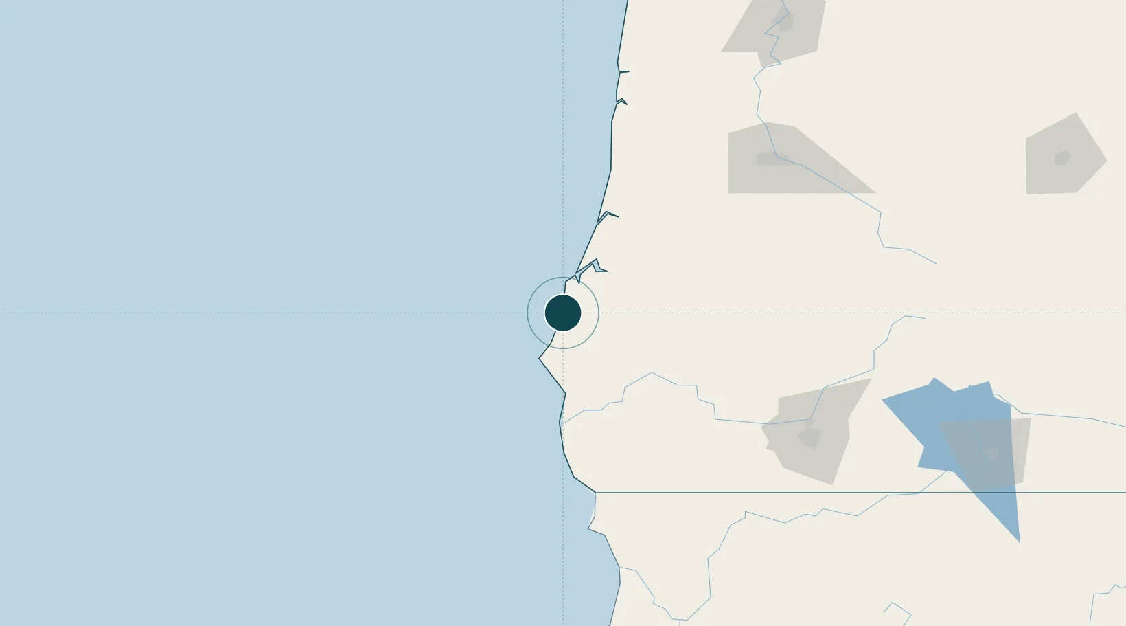
Location
Nearby Logistics Neighbours
Ports
- 1Prosper6 km
- 2Coos Bay32 km
- 3North Bend35 km
- 4Port Orford43 km
- 5Gardiner72 km
Cities
- 1Coquille20 km
- 2Cape Blanco34 km
- 3Port Orford41 km
- 4Umpqua81 km
- 5Glendale92 km
Airports
Trade Zones
- 1FTZ No. 132 Coos County32 km
- 2FTZ No. 248 Eureka258 km
- 3FTZ No. 255 Washington County282 km
- 4FTZ No. 045 Portland299 km
- 5FTZ No. 296 Vancouver312 km
DatabookThe Record of Consolidated Knowledge
United States beyond logistics?