Channel & Berth Profile
Pilotage, Tugs & Services
Pilotage compulsoryYES
Pilotage availableYES
Shore powerYES
Potable waterYES
Diesel bunkersYES
MedicalNO
Garbage disposalYES
Facilities & Capabilities
Container—
Ro-Ro—
Liquid bulk—
Dry bulk—
Oil terminal—
Break bulk—
Dry dock—
RepairsNO
BunkeringNO
Rail linkYES
Dangerous cargo—
ISPS security—
Harbour Specifications
Harbour size
Very Small
Harbour type
Coastal (Natural)
Shelter
Good
Water body
North Pacific Ocean
Tidal range
1.5 m
Pilotage
Yes
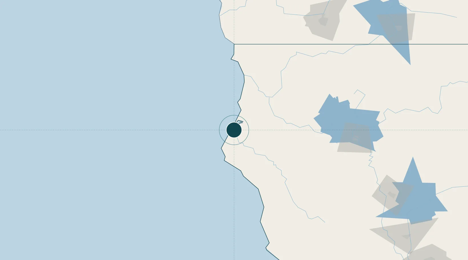
Location
Nearby Logistics Neighbours
Ports
- 1Eureka10 km
- 2Samoa12 km
- 3Crescent City115 km
- 4Fort Bragg145 km
- 5Port Orford226 km
Cities
- 1Indianola4 km
- 2Samoa8 km
- 3McKinleyville28 km
- 4McClellan Place72 km
- 5Westport126 km
Airports
Trade Zones
- 1FTZ No. 248 Eureka11 km
- 2FTZ No. 132 Coos County295 km
- 3FTZ No. 143 West Sacramento331 km
- 4FTZ No. 003 San Francisco361 km
- 5FTZ No. 056 Oakland364 km
DatabookThe Record of Consolidated Knowledge
United States beyond logistics?