Foreign Trade Zone · United States

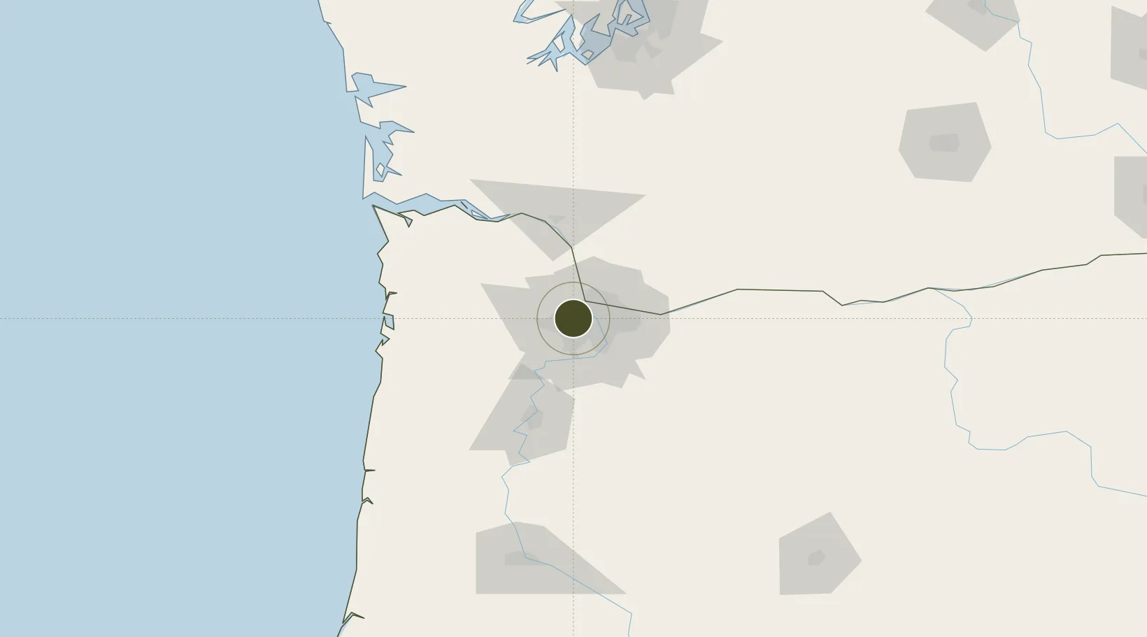
FTZ No. 045 Portland Active

45.5426°, -122.7944°
10.4 km
Nearest port
12.1 km
Nearest airport

Gateway access

Nearest neighbours — logibook spatial index (haversine) over the source coordinates

Zone profile

Zone type
Foreign Trade Zone
Open Zone Map
Region
Oregon
Open Zone Map
Status
Active
Open Zone Map
Management
Public-Private Partnership
Open Zone Map
Operator
Port of Portland
Open Zone Map
Legal framework
Foreign-Trade Zones Act
Open Zone Map

Location

Location of ozm-4891
Natural Earth 10m (public domain) · Oregon · ozm-4891 · 45.54, -122.79GoogleOSMYandex

Nearby Logistics Neighbours

Ports
  1. 1Portland10 km
  2. 2Vancouver13 km
  3. 3Camas31 km
  4. 4Washougal35 km
  5. 5St Helens36 km
Nearest neighbours — logibook spatial index (haversine) over the source coordinates
Airports
  1. 1Portland Hillsboro Airport12 km
  2. 2Portland International Airport16 km
  3. 3Portland Troutdale Airport31 km
  4. 4Aurora State Airport33 km
  5. 5McMinnville Municipal Airport47 km
Nearest neighbours — logibook spatial index (haversine) over the source coordinates
Cities
  1. 1Linnton6 km
  2. 2Rivergate9 km
  3. 3Vancouver15 km
  4. 4Portland18 km
  5. 5Cornelius20 km
Nearest neighbours — logibook spatial index (haversine) over the source coordinates
Trade Zones
  1. 1FTZ No. 296 Vancouver13 km
  2. 2FTZ No. 255 Washington County47 km
  3. 3FTZ No. 120 Cowlitz County66 km
  4. 4FTZ No. 216 Olympia167 km
  5. 5FTZ No. 212 Tacoma191 km
Nearest neighbours — logibook spatial index (haversine) over the source coordinates
DatabookThe Record of Consolidated Knowledge
United States beyond logistics?
Browse databook

All Sources

Trade ZonesOpen Zone Map
CC BY
Portsthe NGA World Port Index
Public domain (US gov)
AirportsOurAirports
Public domain
LocationsUN/LOCODE
UN/LOCODE — free
← United States trade zones