Medium airport · United States
Southwest Oregon Regional AirportKOTH
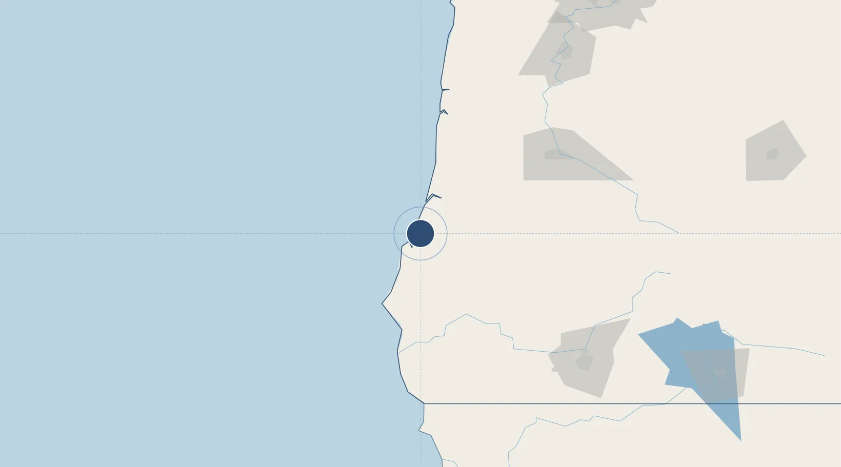
43.4171°, -124.2460°
5,980 ft
Longest runway
2
Runways
17 ft
Elevation
Runway & Layout

Radio Frequencies
AWOS
135.075 MHz
AWOS 3
CNTR
121.4 MHz
SEATTLE CNTR
MISC
34.5 MHz
AIR
RDO
122.4 MHz
MC MINNVILLE RDO
UNIC
122.7 MHz
UNICOM
Navaids
OT NDB Emire 378 kHz
OTH VORTAC North Bend 112.10 MHz
Runways · 2
| Runway | Dimensions | Surface | True heading | Lit |
|---|---|---|---|---|
| 05/23 | 5,980 × 150ft | Asphalt | 061° | ✓ |
| 13/31 | 4,470 × 150ft | Asphalt | 150° | ✓ |
Airport Specifications
IATA code
OTH
ICAO code
KOTH
Airport class
Medium airport
Scheduled service
Yes
Runway surface
Asphalt
Served city
North Bend
Location
Nearby Logistics Neighbours
Airports
- 1Eugene Airport114 km
- 2Newport Municipal Airport130 km
- 3Corvallis Municipal Airport142 km
- 4Rogue Valley International-Medford Airport161 km
- 5Jack Mc Namara Field Airport182 km
Cities
- 1Coquille27 km
- 2Umpqua63 km
- 3Cape Blanco70 km
- 4Port Orford77 km
- 5Oakland78 km
Ports
- 1North Bend3 km
- 2Coos Bay6 km
- 3Prosper31 km
- 4Gardiner35 km
- 5Bandon36 km
Trade Zones
- 1FTZ No. 132 Coos County6 km
- 2FTZ No. 255 Washington County246 km
- 3FTZ No. 045 Portland263 km
- 4FTZ No. 296 Vancouver276 km
- 5FTZ No. 248 Eureka291 km
DatabookThe Record of Consolidated Knowledge
United States beyond logistics?