UN/LOCODE hub · United States
USPO2
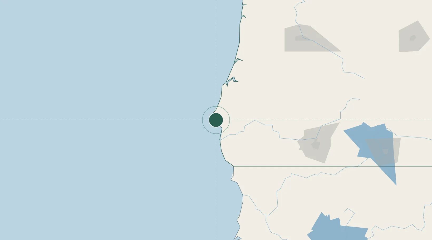
Port Orford
42.7500°, -124.5000°
1,146
Population
2
Transport functions
Transport Functions
Port
Road
Hub Profile
Place type
Populated place
Region
Oregon
Population
1,146
Time zone
America/Los_Angeles
Elevation
19 m
Location
Nearby Logistics Neighbours
Cities
- 1Cape Blanco11 km
- 2Coquille55 km
- 3Harbor81 km
- 4Glendale89 km
- 5Selma91 km
Ports
- 1Bandon41 km
- 2Prosper46 km
- 3Coos Bay72 km
- 4North Bend76 km
- 5Gardiner112 km
Airports
Trade Zones
- 1FTZ No. 132 Coos County73 km
- 2FTZ No. 248 Eureka218 km
- 3FTZ No. 255 Washington County323 km
- 4FTZ No. 045 Portland339 km
- 5FTZ No. 296 Vancouver352 km
DatabookThe Record of Consolidated Knowledge
United States beyond logistics?