Medium airport · United States

Rogue Valley International-Medford AirportKMFR

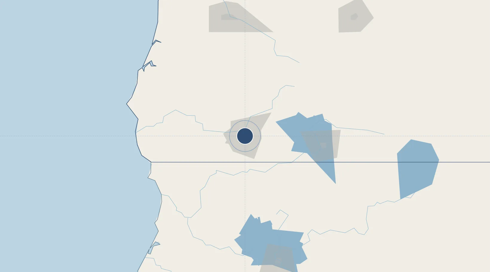
42.3742°, -122.8730°
8,800 ft
Longest runway
1
Runways
1,335 ft
Elevation

Runway & Layout

Rogue Valley International-Medford Airport runway & taxiway layout
Runway & taxiway layout — OpenStreetMap (ODbL) / OurAirports

Radio Frequencies

ATIS
127.25 MHz
TWR
119.4 MHz
MEDFORD TWR
GND
121.8 MHz
CTAF
119.4 MHz
A/D
124.3 MHz
CASCADE APP/DEP
RDO
122.65 MHz
MC MINNVILLE RDO
UNIC
122.95 MHz
UNICOM
OurAirports

Navaids

MEF NDB Medford 356 kHz
MF NDB Pumie 373 kHz
OurAirports

Runways · 1

RunwayDimensions SurfaceTrue headingLit
14/32 8,800 × 150ft Asphalt 159°
OurAirports

Airport Specifications

IATA code
MFR
OurAirports
ICAO code
KMFR
OurAirports
Airport class
Medium airport
OurAirports
Scheduled service
Yes
OurAirports
Runway surface
Asphalt
OurAirports
Served city
Medford
OurAirports

Location

Location of KMFR
Natural Earth 10m (public domain) · Oregon · KMFR · 42.37, -122.87GoogleOSMYandex

Nearby Logistics Neighbours

Airports
  1. 1Crater Lake-Klamath Regional Airport97 km
  2. 2Jack Mc Namara Field Airport131 km
  3. 3Southwest Oregon Regional Airport161 km
  4. 4California Redwood Coast-Humboldt County Airport186 km
  5. 5Eugene Airport197 km
Nearest neighbours — logibook spatial index (haversine) over the source coordinates
Cities
  1. 1Central Point4 km
  2. 2Jacksonville10 km
  3. 3Phoenix12 km
  4. 4Gold Hill16 km
  5. 5Talent17 km
Nearest neighbours — logibook spatial index (haversine) over the source coordinates
Ports
  1. 1Crescent City130 km
  2. 2Port Orford139 km
  3. 3Prosper149 km
  4. 4Bandon151 km
  5. 5Coos Bay156 km
Nearest neighbours — logibook spatial index (haversine) over the source coordinates
Trade Zones
  1. 1FTZ No. 132 Coos County156 km
  2. 2FTZ No. 248 Eureka205 km
  3. 3FTZ No. 045 Portland352 km
  4. 4FTZ No. 255 Washington County355 km
  5. 5FTZ No. 296 Vancouver363 km
Nearest neighbours — logibook spatial index (haversine) over the source coordinates
DatabookThe Record of Consolidated Knowledge
United States beyond logistics?
Browse databook

All Sources

AirportsOurAirports
Public domain
Portsthe NGA World Port Index
Public domain (US gov)
LocationsUN/LOCODE
UN/LOCODE — free
Trade Zonesthe World Bank SEZ database
CC BY 4.0
Trade ZonesOpen Zone Map
CC BY
InfrastructureOpenStreetMap
ODbL 1.0
← United States airports