Medium airport · United States
California Redwood Coast-Humboldt County AirportKACV
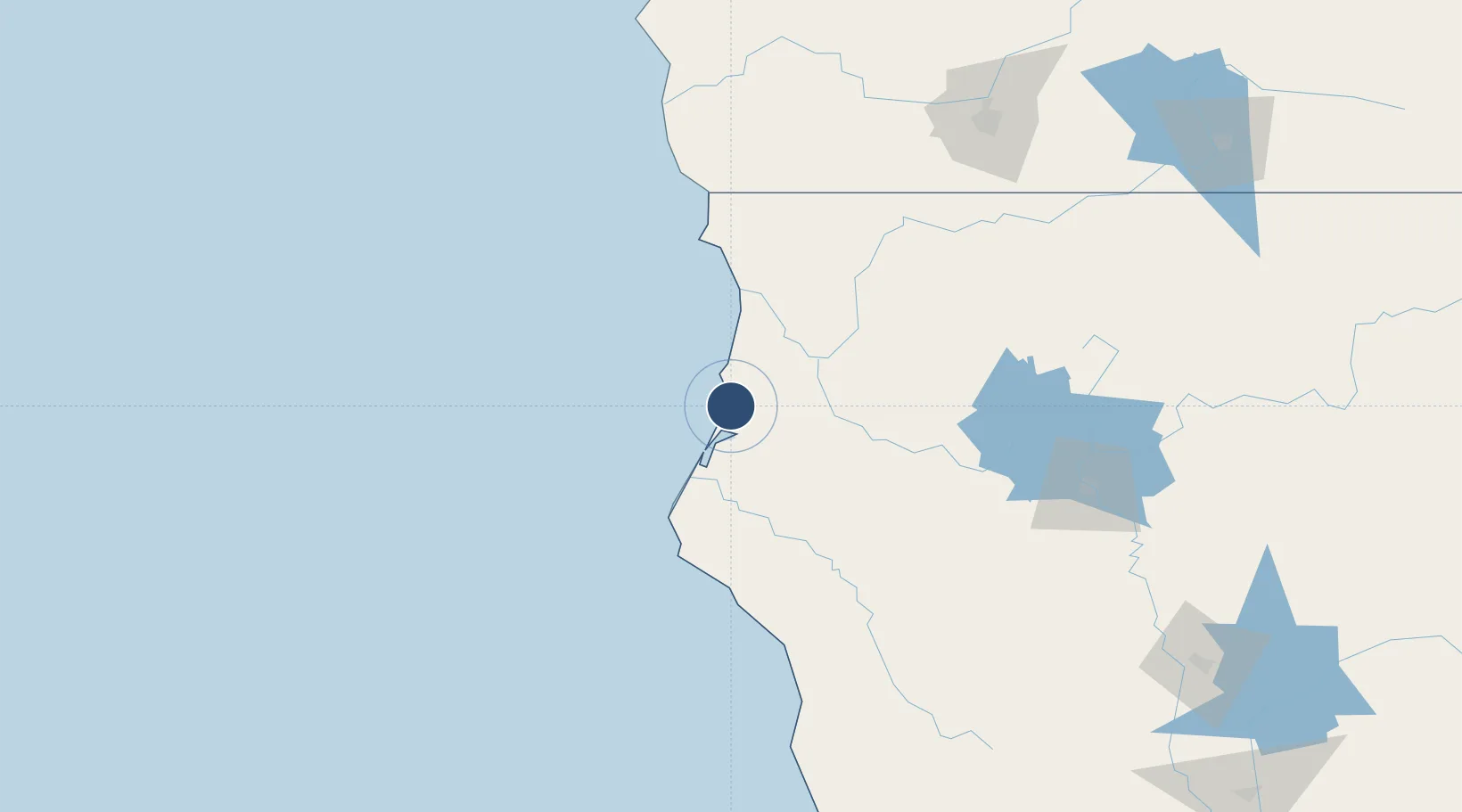
40.9781°, -124.1090°
6,046 ft
Longest runway
2
Runways
221 ft
Elevation
Runway & Layout

Radio Frequencies
ASOS
118.525 MHz
CNTR
124.85 MHz
SEATTLE CNTR
OPS
34.5 MHz
COAST GUARD AIR OPS
RDO
122.6 MHz
OAKLAND RDO
UNIC
123 MHz
CTAF/UNICOM
Navaids
ACV VOR-DME Arcata 110.20 MHz
CV NDB Abeta 233 kHz
Runways · 2
| Runway | Dimensions | Surface | True heading | Lit |
|---|---|---|---|---|
| 14/32 | 6,046 × 150ft | Asphalt | 153° | ✓ |
| 01/19 | 4,501 × 150ft | Asphalt | 030° | ✓ |
Airport Specifications
IATA code
ACV
ICAO code
KACV
Airport class
Medium airport
Scheduled service
Yes
Runway surface
Asphalt
Served city
Arcata/Eureka
Location
Nearby Logistics Neighbours
Airports
Cities
- 1McKinleyville3 km
- 2Samoa23 km
- 3Indianola34 km
- 4McClellan Place80 km
- 5Harbor120 km
Ports
- 1Samoa19 km
- 2Eureka21 km
- 3Fields Landing30 km
- 4Crescent City86 km
- 5Fort Bragg172 km
Trade Zones
- 1FTZ No. 248 Eureka20 km
- 2FTZ No. 132 Coos County266 km
- 3FTZ No. 143 West Sacramento346 km
- 4FTZ No. 003 San Francisco383 km
- 5FTZ No. 056 Oakland386 km
DatabookThe Record of Consolidated Knowledge
United States beyond logistics?