Medium airport · United States

Murray FieldKEKA

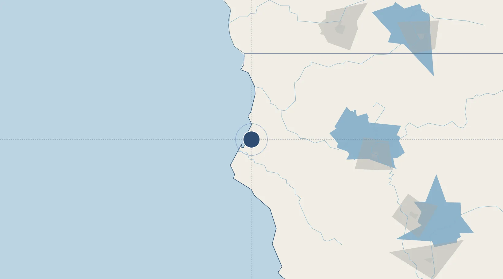
40.8034°, -124.1130°
3,011 ft
Longest runway
1
Runways
7 ft
Elevation

Runway & Layout

Murray Field runway & taxiway layout
Runway & taxiway layout — OpenStreetMap (ODbL) / OurAirports

Radio Frequencies

A/D
124.85 MHz
SEATTLE CNTR
FSS
122.35 MHz
OAKLAND RDO
UNIC
122.7 MHz
CTAF/UNICOM
OurAirports

Runways · 1

RunwayDimensions SurfaceTrue headingLit
12/30 3,011 × 75ft ASPH-G 135°
OurAirports

Airport Specifications

IATA code
EKA
OurAirports
ICAO code
KEKA
OurAirports
Airport class
Medium airport
OurAirports
Scheduled service
No
OurAirports
Runway surface
ASPH-G
OurAirports
Served city
Eureka
OurAirports

Location

Location of KEKA
Natural Earth 10m (public domain) · California · KEKA · 40.80, -124.11GoogleOSMYandex

Nearby Logistics Neighbours

Airports
  1. 1California Redwood Coast-Humboldt County Airport19 km
  2. 2Jack Mc Namara Field Airport109 km
  3. 3Redding Municipal Airport157 km
  4. 4Red Bluff Municipal Airport173 km
  5. 5Ukiah Municipal Airport202 km
Nearest neighbours — logibook spatial index (haversine) over the source coordinates
Cities
  1. 1Samoa8 km
  2. 2Indianola16 km
  3. 3McKinleyville16 km
  4. 4McClellan Place69 km
  5. 5Westport133 km
Nearest neighbours — logibook spatial index (haversine) over the source coordinates
Ports
  1. 1Eureka6 km
  2. 2Samoa6 km
  3. 3Fields Landing13 km
  4. 4Crescent City106 km
  5. 5Fort Bragg153 km
Nearest neighbours — logibook spatial index (haversine) over the source coordinates
Trade Zones
  1. 1FTZ No. 248 Eureka4 km
  2. 2FTZ No. 132 Coos County285 km
  3. 3FTZ No. 143 West Sacramento332 km
  4. 4FTZ No. 003 San Francisco366 km
  5. 5FTZ No. 056 Oakland369 km
Nearest neighbours — logibook spatial index (haversine) over the source coordinates
DatabookThe Record of Consolidated Knowledge
United States beyond logistics?
Browse databook

All Sources

AirportsOurAirports
Public domain
Portsthe NGA World Port Index
Public domain (US gov)
LocationsUN/LOCODE
UN/LOCODE — free
Trade Zonesthe World Bank SEZ database
CC BY 4.0
Trade ZonesOpen Zone Map
CC BY
InfrastructureOpenStreetMap
ODbL 1.0
← United States airports