UN/LOCODE hub · United States
USKNY
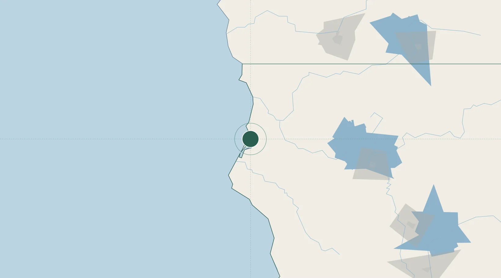
McKinleyville
40.9500°, -124.1000°
15,177
Population
2
Transport functions
Transport Functions
Road
Multimodal
Hub Profile
Place type
Populated place
Region
California
Population
15,177
Time zone
America/Los_Angeles
Elevation
44 m
Location
Nearby Logistics Neighbours
Cities
- 1Samoa20 km
- 2Indianola31 km
- 3McClellan Place78 km
- 4Harbor123 km
- 5Lakeshore144 km
Ports
- 1Samoa16 km
- 2Eureka18 km
- 3Fields Landing28 km
- 4Crescent City89 km
- 5Fort Bragg169 km
Airports
Trade Zones
- 1FTZ No. 248 Eureka17 km
- 2FTZ No. 132 Coos County269 km
- 3FTZ No. 143 West Sacramento343 km
- 4FTZ No. 003 San Francisco380 km
- 5FTZ No. 056 Oakland383 km
DatabookThe Record of Consolidated Knowledge
United States beyond logistics?