Transport Functions
Port
Rail
Hub Profile
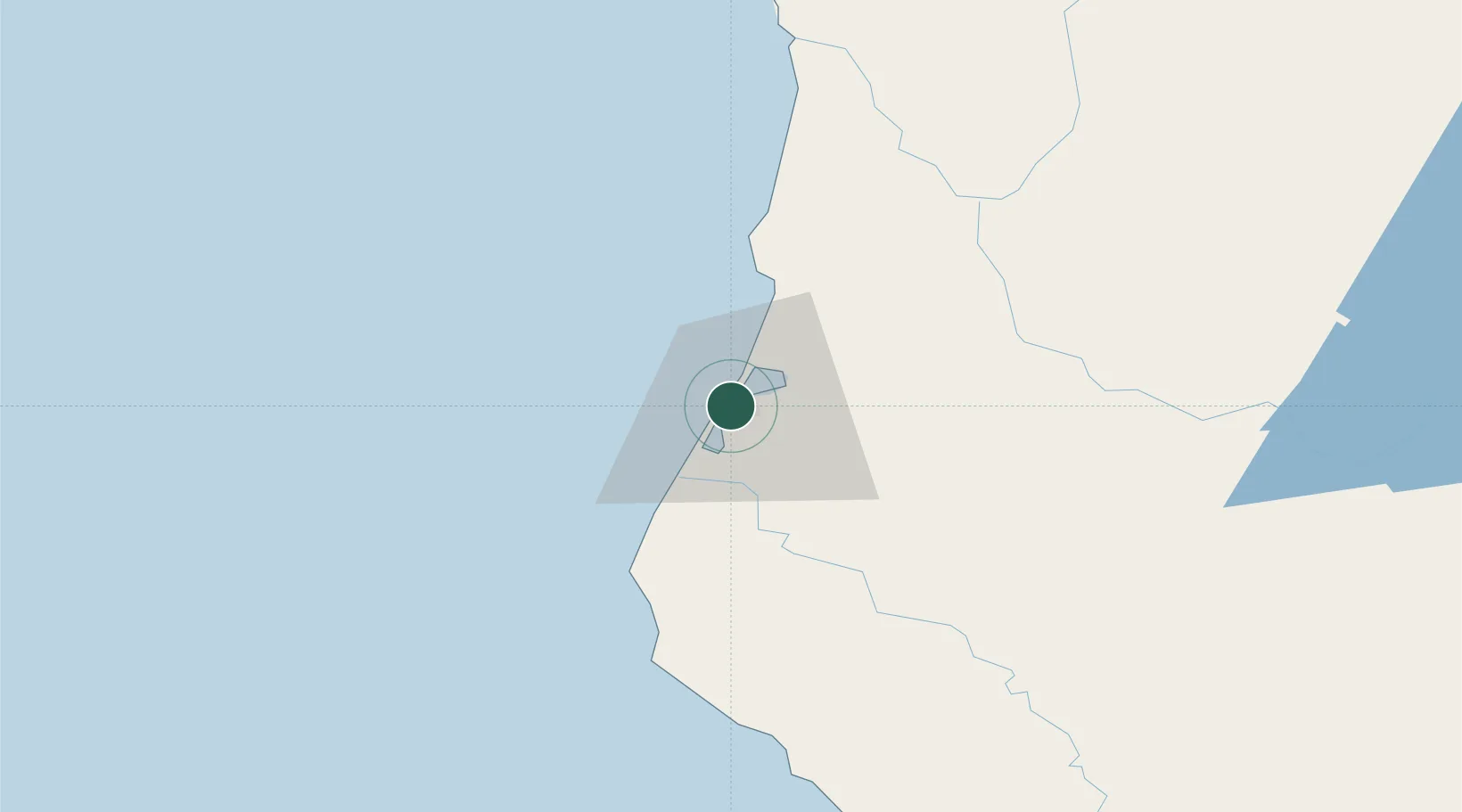
Place type
Populated place
Region
California
Population
258
Time zone
America/Los_Angeles
Elevation
7 m
Location
Nearby Logistics Neighbours
Cities
- 1Indianola11 km
- 2McKinleyville20 km
- 3McClellan Place74 km
- 4Westport133 km
- 5Laytonville137 km
Ports
- 1Eureka2 km
- 2Fields Landing8 km
- 3Crescent City108 km
- 4Fort Bragg152 km
- 5Port Orford218 km
Airports
Trade Zones
- 1FTZ No. 248 Eureka4 km
- 2FTZ No. 132 Coos County287 km
- 3FTZ No. 143 West Sacramento335 km
- 4FTZ No. 003 San Francisco367 km
- 5FTZ No. 056 Oakland370 km
DatabookThe Record of Consolidated Knowledge
United States beyond logistics?