Medium airport · United States
Erie International Tom Ridge FieldKERI
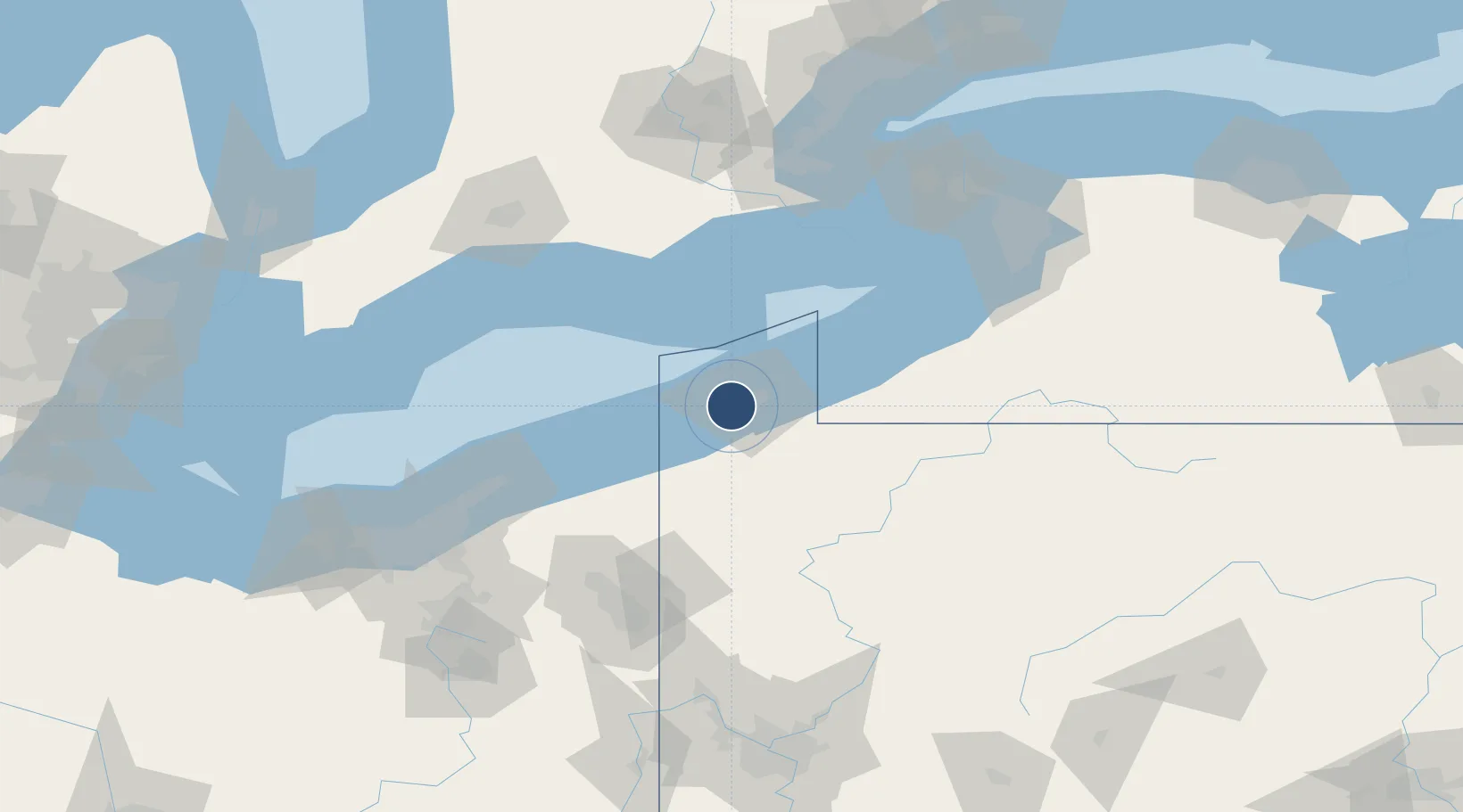
42.0831°, -80.1739°
8,420 ft
Longest runway
2
Runways
732 ft
Elevation
Runway & Layout

Radio Frequencies
ATIS
120.35 MHz
TWR
118.1 MHz
GND
121.9 MHz
CLD
126.8 MHz
CLNC DEL
CTAF
118.1 MHz
A/D
121 MHz
APP/DEP
RDO
109.4 MHz
ALTOONA RDO
UNIC
122.95 MHz
UNICOM
Navaids
CQD NDB Cascade 372 kHz
ER NDB Esmer 349 kHz
ERI VORTAC Erie 109.40 MHz
Runways · 2
| Runway | Dimensions | Surface | True heading | Lit |
|---|---|---|---|---|
| 06/24 | 8,420 × 150ft | Asphalt | 054° | ✓ |
| 02/20 | 3,508 × 150ft | Asphalt | 010° | ✓ |
Airport Specifications
IATA code
ERI
ICAO code
KERI
Airport class
Medium airport
Scheduled service
Yes
Runway surface
Asphalt
Served city
Erie
Location
Nearby Logistics Neighbours
Airports
Cities
- 1Erie9 km
- 2Fairview10 km
- 3Girard15 km
- 4Harborcreek21 km
- 5Waterford23 km
Ports
- 1Erie10 km
- 2Conneaut34 km
- 3Ashtabula56 km
- 4Port Dover78 km
- 5Dunkirk82 km
Trade Zones
- 1FTZ No. 247 Erie7 km
- 2FTZ No. 023 Buffalo138 km
- 3FTZ No. 254 Jefferson County139 km
- 4Niagara Foreign Trade Zone145 km
- 5FTZ No. 040 Cleveland153 km
DatabookThe Record of Consolidated Knowledge
United States beyond logistics?