Transport Functions
Rail
Road
Postal
Hub Profile
Place type
Populated place
Region
Ohio
Time zone
America/New_York
Elevation
207 m
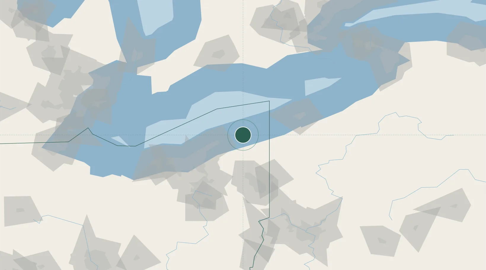
Location
Nearby Logistics Neighbours
Cities
- 1Rock Creek21 km
- 2Thompson21 km
- 3Fairport Harbor Village32 km
- 4Concord, Lake32 km
- 5Andover38 km
Airports
Trade Zones
- 1FTZ No. 247 Erie73 km
- 2FTZ No. 040 Cleveland87 km
- 3FTZ No. 181 Akron Canton120 km
- 4FTZ No. 033 Pittsburgh171 km
- 5FTZ No. 210 St. Clair County174 km
DatabookThe Record of Consolidated Knowledge
United States beyond logistics?