UN/LOCODE hub · United States
USAB4

Albion (Erie County)

41.8833°, -80.3667°
2
Transport functions

Transport Functions

Road
Multimodal
UN/LOCODE

Hub Profile

Region
PA
GeoNames

Location

Location of USAB4
Natural Earth 10m (public domain) · PA · USAB4 · 41.88, -80.37GoogleOSMYandex

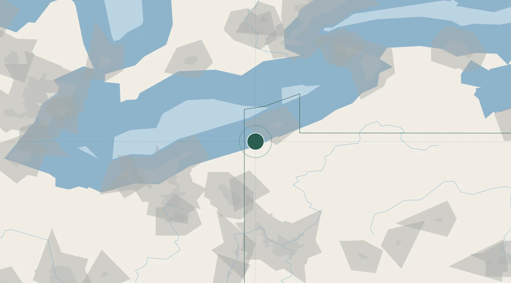
Nearby Logistics Neighbours

Cities
  1. 1Girard14 km
  2. 2Conneautville15 km
  3. 3Fairview18 km
  4. 4Edinboro21 km
  5. 5Waterford32 km
Nearest neighbours — logibook spatial index (haversine) over the source coordinates
Ports
  1. 1Conneaut18 km
  2. 2Ashtabula36 km
  3. 3Erie37 km
  4. 4Fairport78 km
  5. 5Port Dover101 km
Nearest neighbours — logibook spatial index (haversine) over the source coordinates
Airports
  1. 1Erie International Tom Ridge Field27 km
  2. 2Northeast Ohio Regional Airport30 km
  3. 3Venango Regional Airport70 km
  4. 4Youngstown Warren Regional Airport74 km
  5. 5Chautauqua County-Jamestown Airport97 km
Nearest neighbours — logibook spatial index (haversine) over the source coordinates
Trade Zones
  1. 1FTZ No. 247 Erie34 km
  2. 2FTZ No. 040 Cleveland130 km
  3. 3FTZ No. 254 Jefferson County144 km
  4. 4FTZ No. 181 Akron Canton154 km
  5. 5FTZ No. 295 Central Pennsylvania161 km
Nearest neighbours — logibook spatial index (haversine) over the source coordinates
DatabookThe Record of Consolidated Knowledge
United States beyond logistics?
Browse databook

All Sources

LocationsUN/LOCODE
UN/LOCODE — free
Portsthe NGA World Port Index
Public domain (US gov)
AirportsOurAirports
Public domain
Trade Zonesthe World Bank SEZ database
CC BY 4.0
Trade ZonesOpen Zone Map
CC BY
← United States locations