Transport Functions
Road
Multimodal
Hub Profile
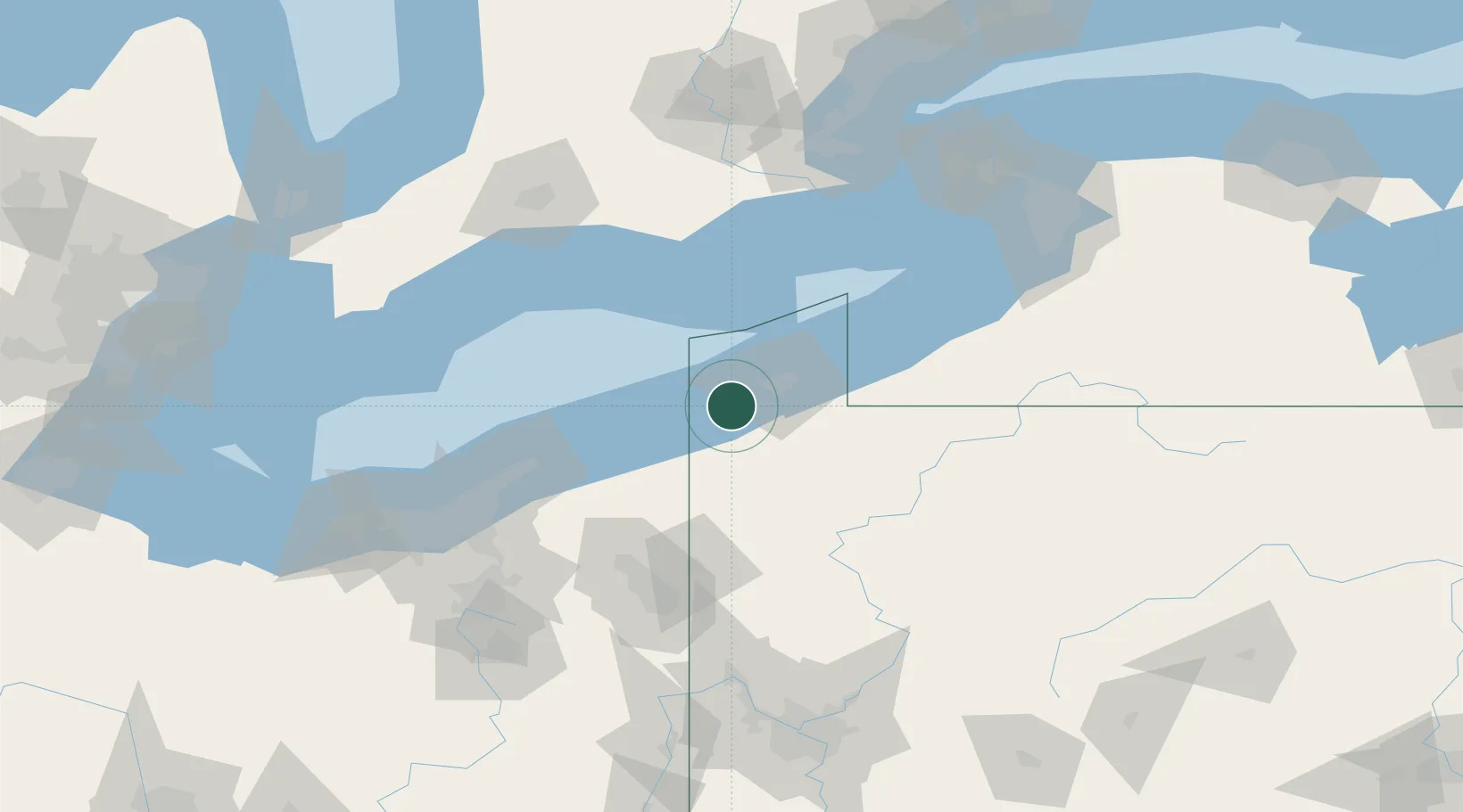
Place type
Populated place
Region
Pennsylvania
Population
3,023
Time zone
America/New_York
Elevation
235 m
Location
Nearby Logistics Neighbours
Cities
- 1Fairview6 km
- 2Albion (Erie County)14 km
- 3Edinboro22 km
- 4Erie24 km
- 5Conneautville28 km
Ports
- 1Conneaut20 km
- 2Erie25 km
- 3Ashtabula42 km
- 4Fairport85 km
- 5Port Dover88 km
Airports
Trade Zones
- 1FTZ No. 247 Erie22 km
- 2FTZ No. 040 Cleveland139 km
- 3FTZ No. 254 Jefferson County145 km
- 4FTZ No. 023 Buffalo153 km
- 5Niagara Foreign Trade Zone160 km
DatabookThe Record of Consolidated Knowledge
United States beyond logistics?