Foreign Trade Zone · United States

FTZ No. 254 Jefferson County Active
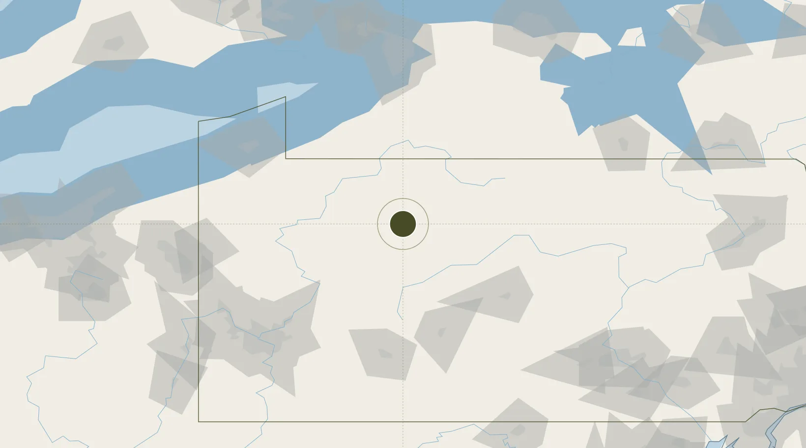
41.4347°, -78.7464°
126.3 km
Nearest port
31.2 km
Nearest airport

Gateway access

Nearest neighbours — logibook spatial index (haversine) over the source coordinates

Zone profile

Zone type
Foreign Trade Zone
Open Zone Map
Region
Pennsylvania
Open Zone Map
Status
Active
Open Zone Map
Management
Public-Private Partnership
Open Zone Map
Operator
North Central Pennsylvania Regional Planning and Development Commission
Open Zone Map
Legal framework
Foreign-Trade Zones Act
Open Zone Map

Location

Location of ozm-4979
Natural Earth 10m (public domain) · Pennsylvania · ozm-4979 · 41.43, -78.75GoogleOSMYandex

Nearby Logistics Neighbours

Ports
  1. 1Dunkirk126 km
  2. 2Erie138 km
  3. 3Conneaut161 km
  4. 4Buffalo162 km
  5. 5Port Colborne166 km
Nearest neighbours — logibook spatial index (haversine) over the source coordinates
Airports
  1. 1DuBois Regional Airport31 km
  2. 2Bradford Regional Airport42 km
  3. 3Chautauqua County-Jamestown Airport90 km
  4. 4Venango Regional Airport93 km
  5. 5State College Regional Airport99 km
Nearest neighbours — logibook spatial index (haversine) over the source coordinates
Cities
  1. 1Wilcox16 km
  2. 2Brockport21 km
  3. 3Reynoldsville41 km
  4. 4Mckean46 km
  5. 5Smethport48 km
Nearest neighbours — logibook spatial index (haversine) over the source coordinates
Trade Zones
  1. 1FTZ No. 295 Central Pennsylvania36 km
  2. 2FTZ No. 247 Erie136 km
  3. 3FTZ No. 033 Pittsburgh156 km
  4. 4FTZ No. 023 Buffalo161 km
  5. 5FTZ No. 289 Ontario County181 km
Nearest neighbours — logibook spatial index (haversine) over the source coordinates
DatabookThe Record of Consolidated Knowledge
United States beyond logistics?
Browse databook

All Sources

Trade ZonesOpen Zone Map
CC BY
Portsthe NGA World Port Index
Public domain (US gov)
AirportsOurAirports
Public domain
LocationsUN/LOCODE
UN/LOCODE — free
← United States trade zones