Channel & Berth Profile
Pilotage, Tugs & Services
Pilotage compulsoryYES
Tug assistanceNO
Shore powerYES
Potable waterYES
Diesel bunkersYES
MedicalYES
Facilities & Capabilities
Container—
Ro-Ro—
Liquid bulk—
Dry bulk—
Oil terminal—
Break bulk—
Dry dockNO
RepairsNO
BunkeringYES
Rail linkYES
Dangerous cargo—
ISPS security—
Harbour Specifications
Harbour size
Small
Harbour type
Coastal (Natural)
Shelter
Excellent
Water body
Lake Erie; Great Lakes
Overhead limit
No
Pilotage
Yes
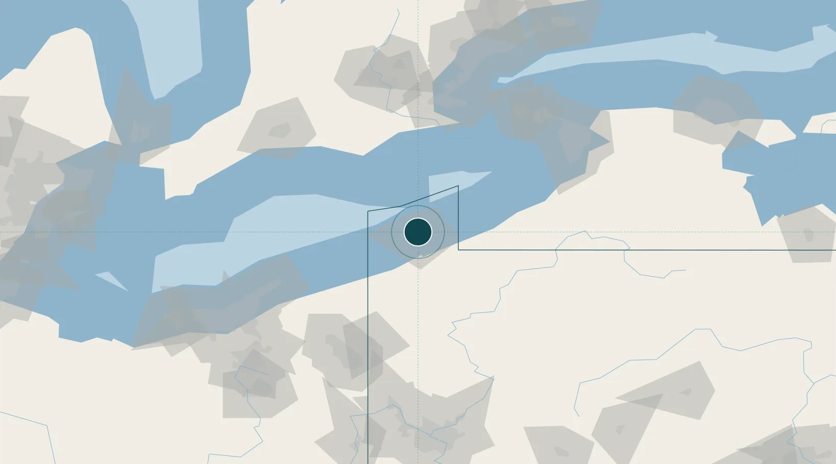
Location
Nearby Logistics Neighbours
Ports
- 1Conneaut42 km
- 2Ashtabula64 km
- 3Port Dover71 km
- 4Dunkirk73 km
- 5Port Maitland89 km
Cities
- 1Harborcreek13 km
- 2Fairview19 km
- 3Girard25 km
- 4Waterford26 km
- 5Edinboro32 km
Airports
Trade Zones
- 1FTZ No. 247 Erie4 km
- 2FTZ No. 023 Buffalo129 km
- 3Niagara Foreign Trade Zone136 km
- 4FTZ No. 254 Jefferson County138 km
- 5FTZ No. 034 Niagara County154 km
DatabookThe Record of Consolidated Knowledge
United States beyond logistics?