Medium airport · United States

Venango Regional AirportKFKL
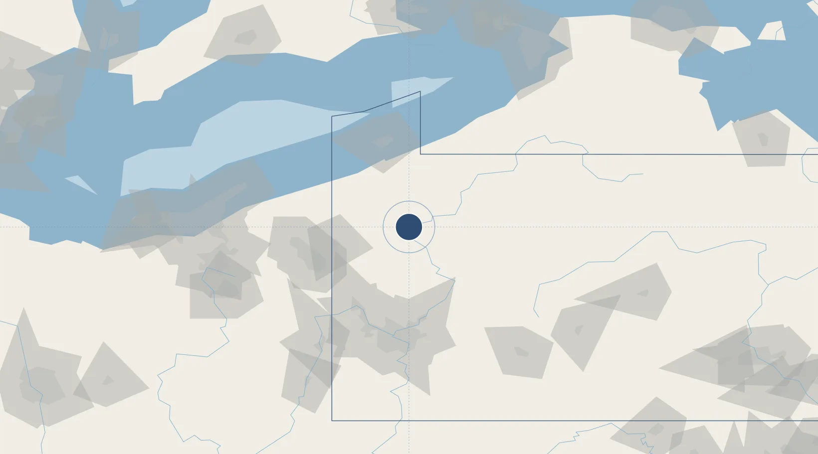
41.3779°, -79.8604°
5,200 ft
Longest runway
2
Runways
1,540 ft
Elevation

Runway & Layout

Venango Regional Airport runway & taxiway layout
Runway & taxiway layout — OpenStreetMap (ODbL) / OurAirports

Radio Frequencies

AWOS
118.175 MHz
AWOS 3
CLD
126.25 MHz
CLNC DEL
A/D
133.95 MHz
YOUNGSTOWN APP/DEP
RDO
109.6 MHz
ALTOONA RDO
UNIC
122.7 MHz
CTAF/UNICOM
OurAirports

Runways · 2

RunwayDimensions SurfaceTrue headingLit
03/21 5,200 × 150ft Asphalt 017°
12/30 3,593 × 100ft Asphalt 106°
OurAirports

Airport Specifications

IATA code
FKL
OurAirports
ICAO code
KFKL
OurAirports
Airport class
Medium airport
OurAirports
Scheduled service
No
OurAirports
Runway surface
Asphalt
OurAirports
Served city
Franklin
OurAirports

Location

Location of KFKL
Natural Earth 10m (public domain) · Pennsylvania · KFKL · 41.38, -79.86GoogleOSMYandex

Nearby Logistics Neighbours

Airports
  1. 1Youngstown Warren Regional Airport70 km
  2. 2Beaver County Airport81 km
  3. 3Northeast Ohio Regional Airport83 km
  4. 4Erie International Tom Ridge Field83 km
  5. 5DuBois Regional Airport83 km
Nearest neighbours — logibook spatial index (haversine) over the source coordinates
Cities
  1. 1Reno10 km
  2. 2Sandy Lake18 km
  3. 3Cochranton22 km
  4. 4Emlenton27 km
  5. 5Guys Mills30 km
Nearest neighbours — logibook spatial index (haversine) over the source coordinates
Ports
  1. 1Conneaut87 km
  2. 2Erie88 km
  3. 3Ashtabula97 km
  4. 4Fairport127 km
  5. 5Dunkirk130 km
Nearest neighbours — logibook spatial index (haversine) over the source coordinates
Trade Zones
  1. 1FTZ No. 247 Erie85 km
  2. 2FTZ No. 254 Jefferson County93 km
  3. 3FTZ No. 295 Central Pennsylvania99 km
  4. 4FTZ No. 033 Pittsburgh107 km
  5. 5FTZ No. 181 Akron Canton164 km
Nearest neighbours — logibook spatial index (haversine) over the source coordinates
DatabookThe Record of Consolidated Knowledge
United States beyond logistics?
Browse databook

All Sources

AirportsOurAirports
Public domain
Portsthe NGA World Port Index
Public domain (US gov)
LocationsUN/LOCODE
UN/LOCODE — free
Trade Zonesthe World Bank SEZ database
CC BY 4.0
Trade ZonesOpen Zone Map
CC BY
InfrastructureOpenStreetMap
ODbL 1.0
← United States airports