UN/LOCODE hub · United States
USFVE
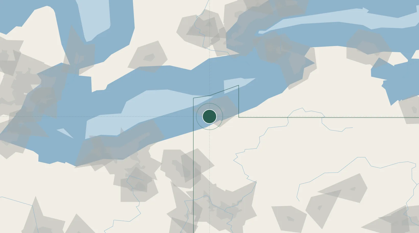
Fairview
42.0167°, -80.2500°
2,348
Population
3
Transport functions
Transport Functions
Rail
Road
Multimodal
Hub Profile
Place type
Populated place
Region
Pennsylvania
Population
2,348
Time zone
America/New_York
Elevation
242 m
Location
Nearby Logistics Neighbours
Cities
- 1Girard6 km
- 2Albion (Erie County)18 km
- 3Erie18 km
- 4Edinboro20 km
- 5Waterford24 km
Ports
- 1Erie19 km
- 2Conneaut25 km
- 3Ashtabula47 km
- 4Port Dover85 km
- 5Fairport91 km
Airports
Trade Zones
- 1FTZ No. 247 Erie16 km
- 2FTZ No. 254 Jefferson County141 km
- 3FTZ No. 040 Cleveland144 km
- 4FTZ No. 023 Buffalo148 km
- 5Niagara Foreign Trade Zone155 km
DatabookThe Record of Consolidated Knowledge
United States beyond logistics?