UN/LOCODE hub · United States
USCV3
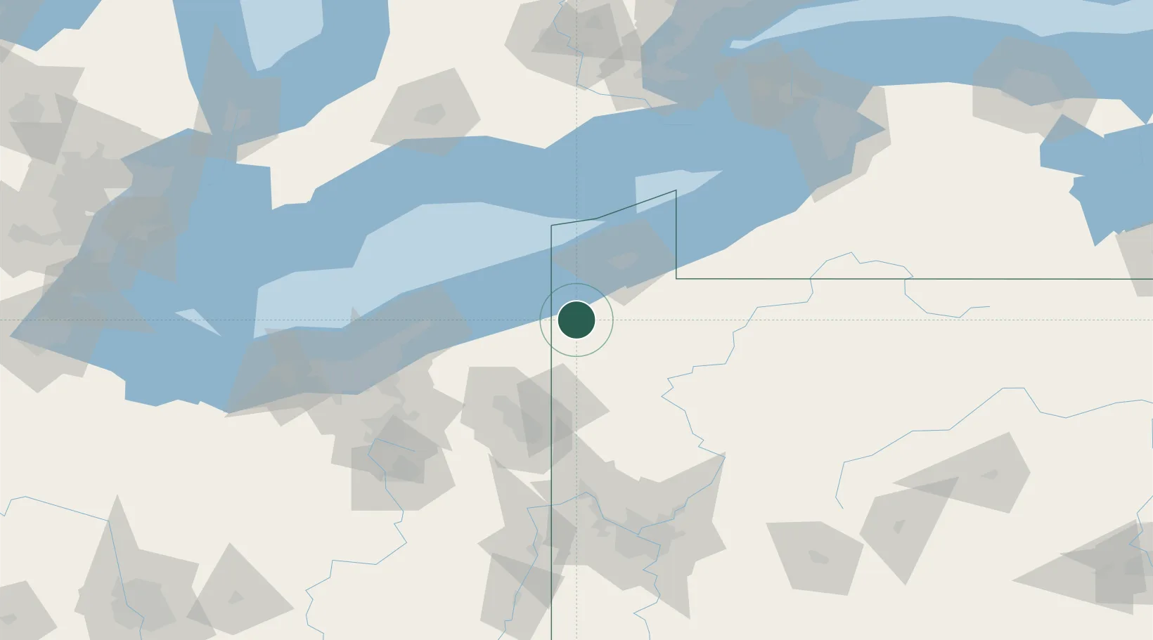
Conneautville
41.7500°, -80.3667°
751
Population
2
Transport functions
Transport Functions
Rail
Road
Hub Profile
Place type
Populated place
Region
Pennsylvania
Population
751
Time zone
America/New_York
Elevation
288 m
Location
Nearby Logistics Neighbours
Cities
- 1Albion (Erie County)15 km
- 2Andover24 km
- 3Edinboro24 km
- 4Girard28 km
- 5Fairview31 km
Airports
Trade Zones
- 1FTZ No. 247 Erie46 km
- 2FTZ No. 040 Cleveland126 km
- 3FTZ No. 254 Jefferson County139 km
- 4FTZ No. 181 Akron Canton145 km
- 5FTZ No. 033 Pittsburgh149 km
DatabookThe Record of Consolidated Knowledge
United States beyond logistics?