Transport Functions
Rail
Road
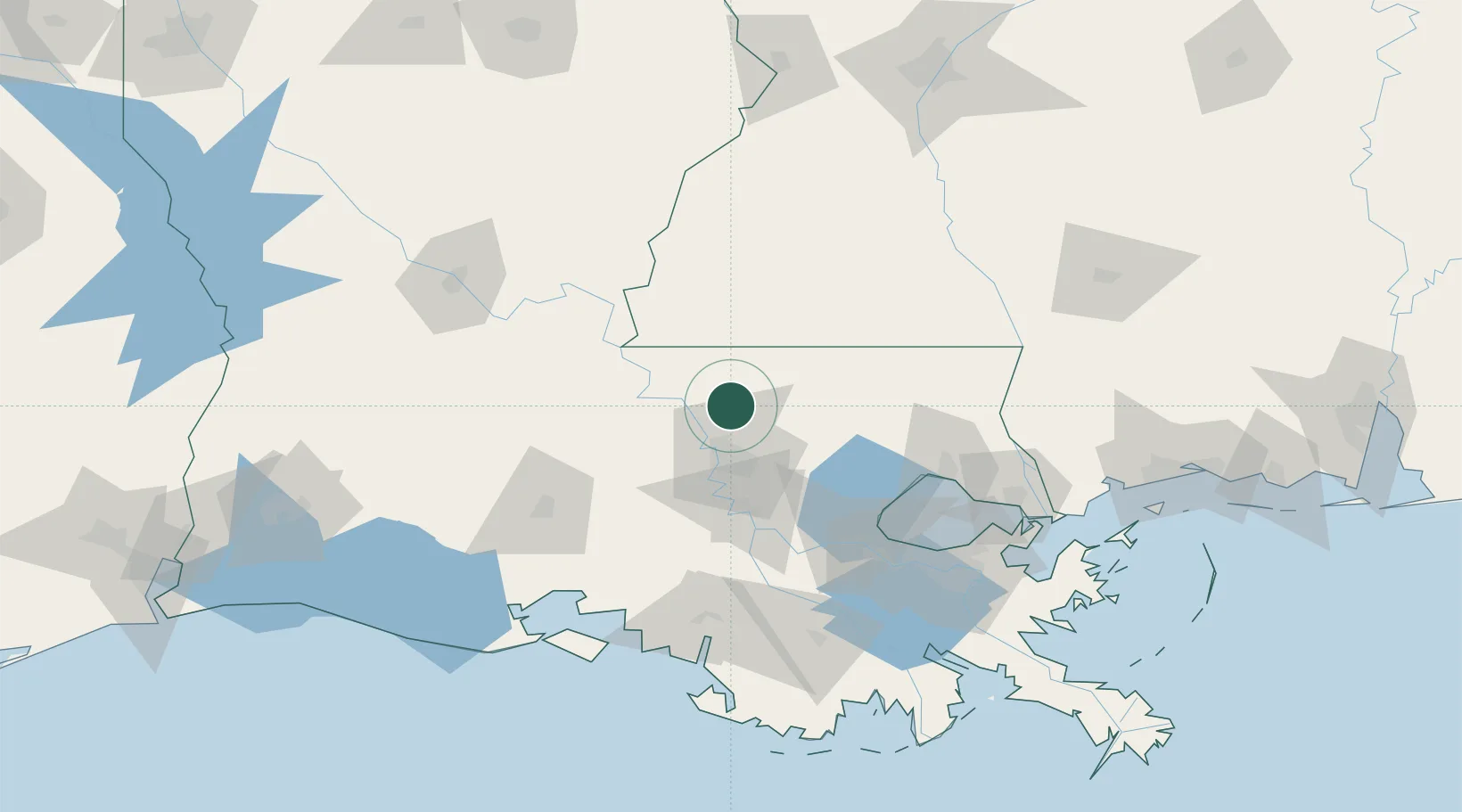
Hub Profile
Place type
Populated place
Region
Louisiana
Population
963
Time zone
America/Chicago
Elevation
40 m
Location
Nearby Logistics Neighbours
Cities
- 1Baker15 km
- 2Baton Rouge17 km
- 3Clinton20 km
- 4Lakeland27 km
- 5Bluff Creek27 km
Ports
- 1Baton Rouge30 km
- 2Convent83 km
- 3St. James87 km
- 4Reserve93 km
- 5Madisonville101 km
Airports
Trade Zones
DatabookThe Record of Consolidated Knowledge
United States beyond logistics?