Medium airport · United States

Acadiana Regional AirportKARA
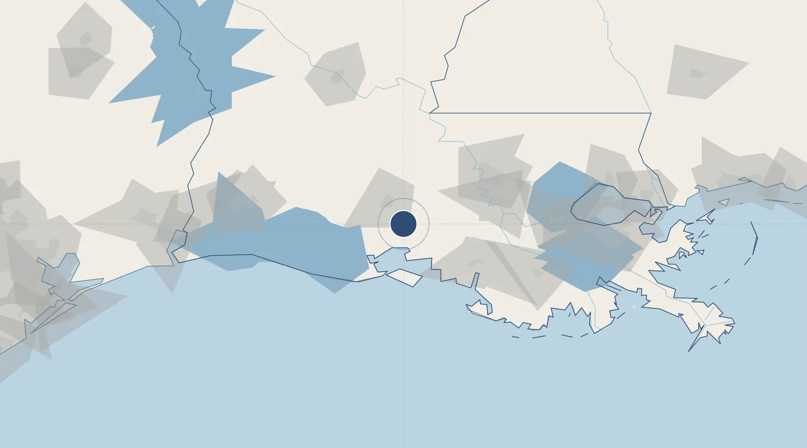
30.0378°, -91.8839°
8,002 ft
Longest runway
2
Runways
24 ft
Elevation

Runway & Layout

Acadiana Regional Airport runway & taxiway layout
Runway & taxiway layout — OpenStreetMap (ODbL) / OurAirports

Radio Frequencies

TWR
125 MHz
GND
121.7 MHz
CLD
121.7 MHz
CLNC DEL
CTAF
125 MHz
A/D
121.1 MHz
LAFAYETTE APP/DEP
UNIC
122.95 MHz
UNICOM
OurAirports

Runways · 2

RunwayDimensions SurfaceTrue headingLit
16/34 8,002 × 200ft Concrete 168°
16W/34W 5,000 × 150ft Water
OurAirports

Airport Specifications

IATA code
ARA
OurAirports
ICAO code
KARA
OurAirports
Airport class
Medium airport
OurAirports
Scheduled service
No
OurAirports
Runway surface
Concrete
OurAirports
Served city
New Iberia
OurAirports

Location

Location of KARA
Natural Earth 10m (public domain) · Louisiana · KARA · 30.04, -91.88GoogleOSMYandex

Nearby Logistics Neighbours

Airports
  1. 1Lafayette Regional Airport21 km
  2. 2Baton Rouge Metropolitan Airport90 km
  3. 3Lake Charles Regional Airport129 km
  4. 4Esler Army Airfield / Esler Regional Airport156 km
  5. 5Louis Armstrong New Orleans International Airport156 km
Nearest neighbours — logibook spatial index (haversine) over the source coordinates
Cities
  1. 1Cade5 km
  2. 2Broussard, Lafayette12 km
  3. 3Carencro36 km
  4. 4Baldwin39 km
  5. 5Arnaudville40 km
Nearest neighbours — logibook spatial index (haversine) over the source coordinates
Ports
  1. 1Morgan City75 km
  2. 2Baton Rouge81 km
  3. 3Convent101 km
  4. 4St. James102 km
  5. 5Reserve128 km
Nearest neighbours — logibook spatial index (haversine) over the source coordinates
Trade Zones
  1. 1FTZ No. 154 Baton Rouge76 km
  2. 2FTZ No. 155 Calhoun Victoria Counties76 km
  3. 3FTZ No. 279 Terrebonne Parish102 km
  4. 4FTZ No. 124 Gramercy113 km
  5. 5FTZ No. 087 Lake Charles143 km
Nearest neighbours — logibook spatial index (haversine) over the source coordinates
DatabookThe Record of Consolidated Knowledge
United States beyond logistics?
Browse databook

All Sources

AirportsOurAirports
Public domain
Portsthe NGA World Port Index
Public domain (US gov)
LocationsUN/LOCODE
UN/LOCODE — free
Trade Zonesthe World Bank SEZ database
CC BY 4.0
Trade ZonesOpen Zone Map
CC BY
InfrastructureOpenStreetMap
ODbL 1.0
← United States airports