Transport Functions
Port
Road
Hub Profile
Place type
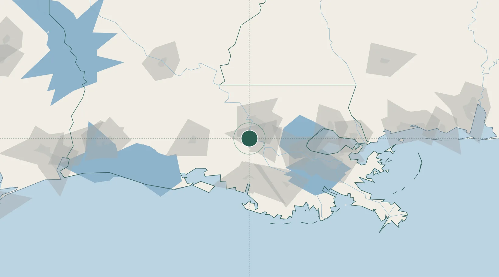
Populated place
Region
Louisiana
Time zone
America/Chicago
Elevation
5 m
Location
Nearby Logistics Neighbours
Cities
- 1Port Allen18 km
- 2Burnside33 km
- 3Paincourtville35 km
- 4Baton Rouge35 km
- 5Saint Amant35 km
Ports
- 1Baton Rouge23 km
- 2Convent46 km
- 3St. James49 km
- 4Morgan City61 km
- 5Reserve69 km
Airports
Trade Zones
DatabookThe Record of Consolidated Knowledge
United States beyond logistics?