Channel & Berth Profile
Pilotage, Tugs & Services
Pilotage compulsoryYES
Pilotage advisableYES
Salvage tugsYES
Potable waterYES
Diesel bunkersNO
MedicalYES
Facilities & Capabilities
Container—
Ro-Ro—
Liquid bulk—
Dry bulk—
Oil terminal—
Break bulk—
Dry dock—
Repairs—
BunkeringNO
Rail linkYES
Dangerous cargo—
ISPS security—
Harbour Specifications
Harbour size
Very Small
Harbour type
River (Natural)
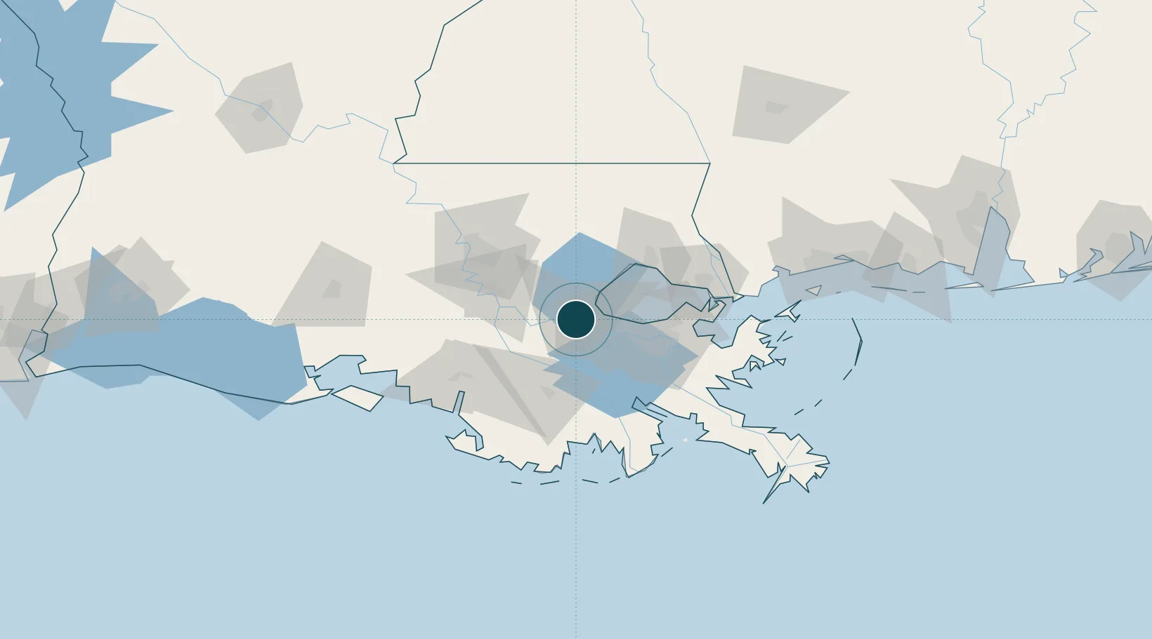
Water body
Gulf of Mexico; North Atlantic Ocean
Overhead limit
Yes
Pilotage
Yes
Location
Nearby Logistics Neighbours
Cities
- 1Port Of South Louisiana5 km
- 2Killona9 km
- 3Taft14 km
- 4Lutcher15 km
- 5Good Hope16 km
Airports
Trade Zones
DatabookThe Record of Consolidated Knowledge
United States beyond logistics?