Transport Functions
Multimodal
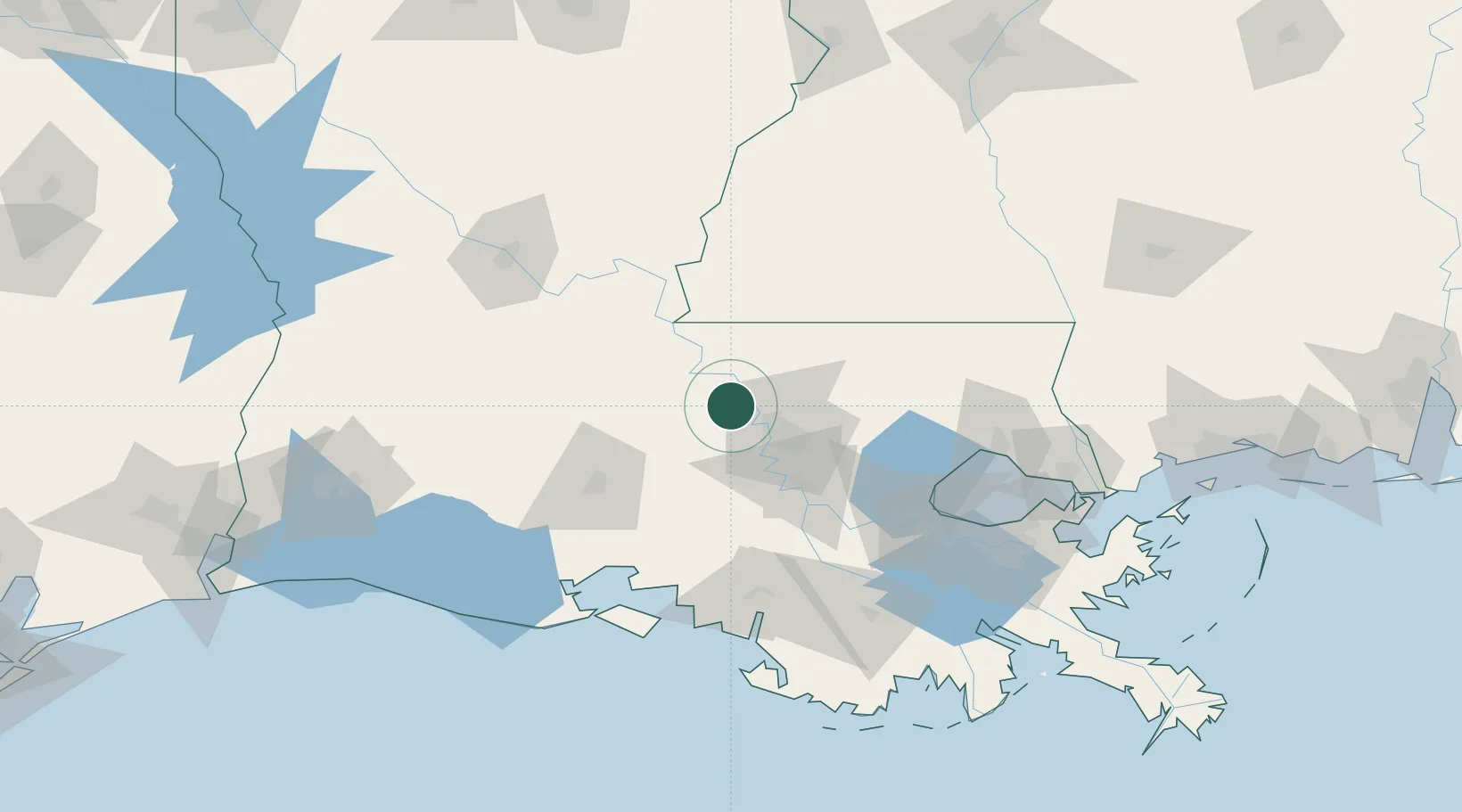
Hub Profile
Place type
Populated place
Region
Louisiana
Time zone
America/Chicago
Elevation
9 m
Location
Nearby Logistics Neighbours
Cities
- 1Baton Rouge20 km
- 2Baker21 km
- 3Port Allen25 km
- 4Slaughter27 km
- 5Krotz Springs36 km
Ports
- 1Baton Rouge25 km
- 2Convent84 km
- 3St. James87 km
- 4Reserve101 km
- 5Morgan City101 km
Airports
Trade Zones
DatabookThe Record of Consolidated Knowledge
United States beyond logistics?