UN/LOCODE hub · United States
USPLL
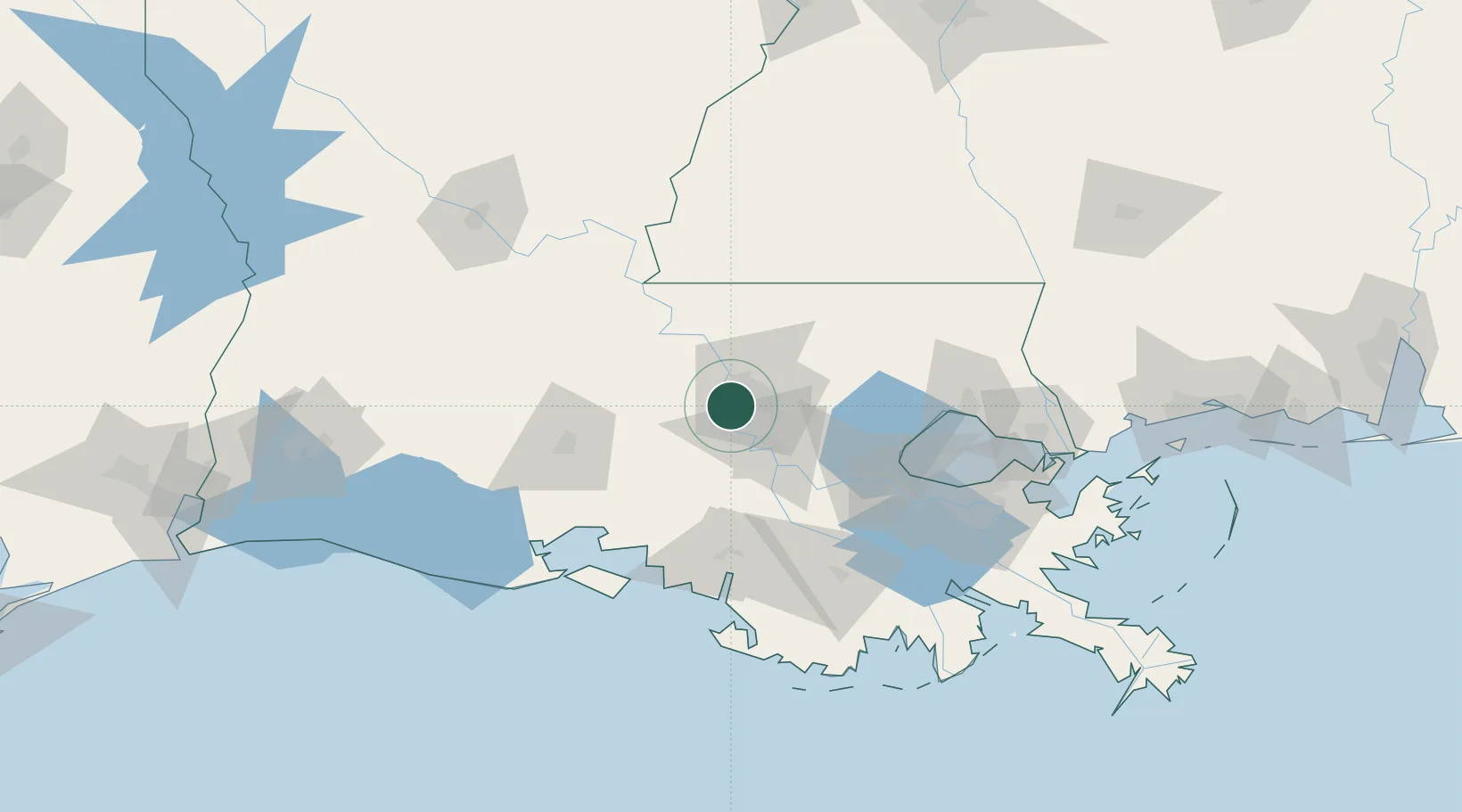
Port Allen
30.4118°, -91.2382°
5,130
Population
2
Transport functions
Transport Functions
Port
Road
Hub Profile
Place type
Provincial seat
Region
Louisiana
Population
5,130
Time zone
America/Chicago
Elevation
8 m
Logistics facilities
3
Location
Nearby Logistics Neighbours
Cities
- 1Saint Louis18 km
- 2Baton Rouge18 km
- 3Baker20 km
- 4Lakeland25 km
- 5Slaughter35 km
Ports
- 1Baton Rouge7 km
- 2Convent59 km
- 3St. James62 km
- 4Reserve77 km
- 5Morgan City79 km
Airports
Trade Zones
DatabookThe Record of Consolidated Knowledge
United States beyond logistics?