Transport Functions
Rail
Road
Hub Profile
Place type
Populated place
Region
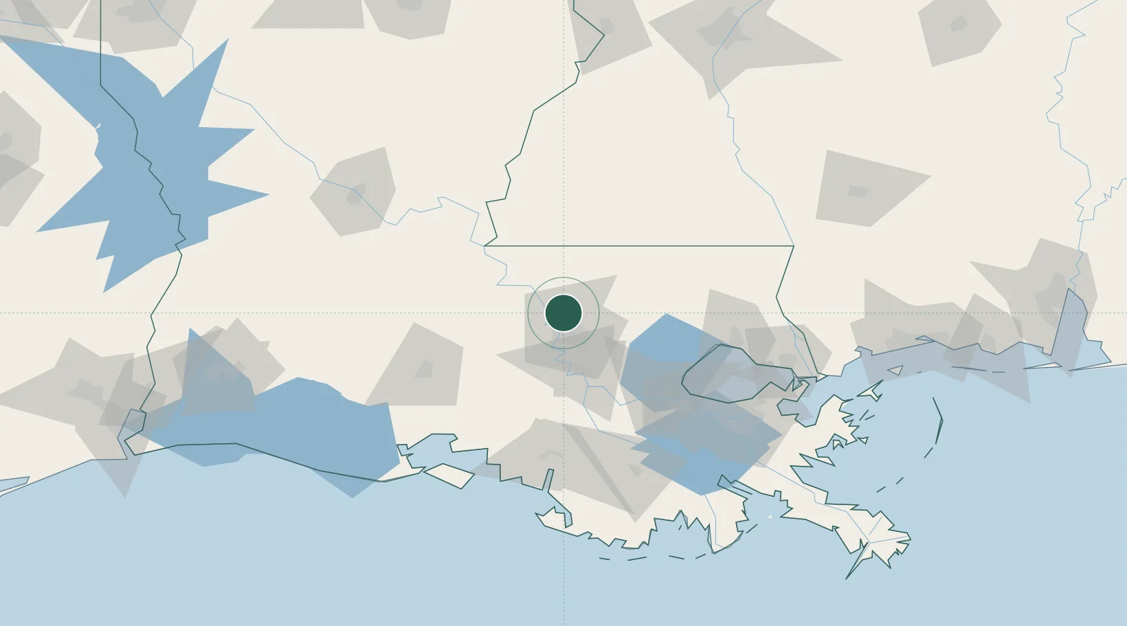
Louisiana
Population
13,695
Time zone
America/Chicago
Elevation
24 m
Location
Nearby Logistics Neighbours
Cities
- 1Baton Rouge2 km
- 2Slaughter15 km
- 3Port Allen20 km
- 4Lakeland21 km
- 5Walker, Livingston31 km
Ports
- 1Baton Rouge15 km
- 2Convent71 km
- 3St. James75 km
- 4Reserve84 km
- 5Morgan City98 km
Airports
Trade Zones
DatabookThe Record of Consolidated Knowledge
United States beyond logistics?