Medium airport · United States

Lafayette Regional AirportKLFT
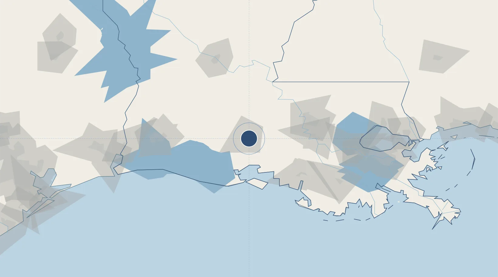
30.2053°, -91.9876°
8,000 ft
Longest runway
3
Runways
42 ft
Elevation

Runway & Layout

Lafayette Regional Airport runway & taxiway layout
Runway & taxiway layout — OpenStreetMap (ODbL) / OurAirports

Radio Frequencies

ATIS
134.05 MHz
TWR
118.5 MHz
GND
121.8 MHz
CLD
125.55 MHz
CLNC DEL
CTAF
118.5 MHz
A/D
121.1 MHz
APP/DEP
RDO
122.35 MHz
DE RIDDER RDO
UNIC
122.95 MHz
UNICOM
OurAirports

Navaids

LF NDB Laffs 375 kHz
LFT VORTAC Lafayette 109.80 MHz
OurAirports

Runways · 3

RunwayDimensions SurfaceTrue headingLit
04R/22L 8,000 × 150ft Asphalt 039°
11/29 5,403 × 150ft Asphalt 110°
04L/22R 4,098 × 75ft Asphalt 039°
OurAirports

Airport Specifications

IATA code
LFT
OurAirports
ICAO code
KLFT
OurAirports
Airport class
Medium airport
OurAirports
Scheduled service
Yes
OurAirports
Runway surface
Asphalt
OurAirports
Served city
Lafayette
OurAirports

Location

Location of KLFT
Natural Earth 10m (public domain) · Louisiana · KLFT · 30.21, -91.99GoogleOSMYandex

Nearby Logistics Neighbours

Airports
  1. 1Acadiana Regional Airport21 km
  2. 2Baton Rouge Metropolitan Airport88 km
  3. 3Lake Charles Regional Airport119 km
  4. 4Esler Army Airfield / Esler Regional Airport135 km
  5. 5Alexandria International Airport136 km
Nearest neighbours — logibook spatial index (haversine) over the source coordinates
Cities
  1. 1Broussard, Lafayette9 km
  2. 2Carencro15 km
  3. 3Cade16 km
  4. 4Arnaudville23 km
  5. 5Grand Coteau24 km
Nearest neighbours — logibook spatial index (haversine) over the source coordinates
Ports
  1. 1Baton Rouge82 km
  2. 2Morgan City93 km
  3. 3Convent113 km
  4. 4St. James114 km
  5. 5Lake Charles121 km
Nearest neighbours — logibook spatial index (haversine) over the source coordinates
Trade Zones
  1. 1FTZ No. 154 Baton Rouge75 km
  2. 2FTZ No. 155 Calhoun Victoria Counties75 km
  3. 3FTZ No. 279 Terrebonne Parish122 km
  4. 4FTZ No. 124 Gramercy124 km
  5. 5FTZ No. 087 Lake Charles132 km
Nearest neighbours — logibook spatial index (haversine) over the source coordinates
DatabookThe Record of Consolidated Knowledge
United States beyond logistics?
Browse databook

All Sources

AirportsOurAirports
Public domain
Portsthe NGA World Port Index
Public domain (US gov)
LocationsUN/LOCODE
UN/LOCODE — free
Trade Zonesthe World Bank SEZ database
CC BY 4.0
Trade ZonesOpen Zone Map
CC BY
InfrastructureOpenStreetMap
ODbL 1.0
← United States airports