Foreign Trade Zone · United States

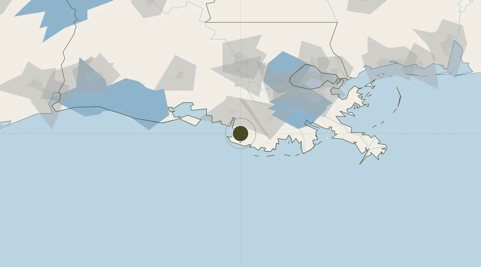
FTZ No. 279 Terrebonne Parish Active

29.3817°, -91.1458°
36.1 km
Nearest port
102.0 km
Nearest airport

Gateway access

Nearest neighbours — logibook spatial index (haversine) over the source coordinates

Zone profile

Zone type
Foreign Trade Zone
Open Zone Map
Region
Louisiana
Open Zone Map
Status
Active
Open Zone Map
Management
Public
Open Zone Map
Operator
Houma-Terrebonne Airport Commission
Open Zone Map
Legal framework
Foreign-Trade Zones Act
Open Zone Map

Location

Location of ozm-4792
Natural Earth 10m (public domain) · Louisiana · ozm-4792 · 29.38, -91.15GoogleOSMYandex

Nearby Logistics Neighbours

Ports
  1. 1Morgan City36 km
  2. 2St. James73 km
  3. 3Convent77 km
  4. 4Reserve94 km
  5. 5Destrehan98 km
Nearest neighbours — logibook spatial index (haversine) over the source coordinates
Airports
  1. 1Acadiana Regional Airport102 km
  2. 2Louis Armstrong New Orleans International Airport109 km
  3. 3New Orleans NAS JRB/Alvin Callender Field118 km
  4. 4Lafayette Regional Airport122 km
  5. 5Baton Rouge Metropolitan Airport128 km
Nearest neighbours — logibook spatial index (haversine) over the source coordinates
Cities
  1. 1Amelia30 km
  2. 2Berwick34 km
  3. 3Gray50 km
  4. 4Bourg56 km
  5. 5Franklin56 km
Nearest neighbours — logibook spatial index (haversine) over the source coordinates
Trade Zones
  1. 1FTZ No. 124 Gramercy86 km
  2. 2FTZ No. 154 Baton Rouge118 km
  3. 3FTZ No. 155 Calhoun Victoria Counties118 km
  4. 4FTZ No. 002 New Orleans121 km
  5. 5FTZ No. 087 Lake Charles232 km
Nearest neighbours — logibook spatial index (haversine) over the source coordinates
DatabookThe Record of Consolidated Knowledge
United States beyond logistics?
Browse databook

All Sources

Trade ZonesOpen Zone Map
CC BY
Portsthe NGA World Port Index
Public domain (US gov)
AirportsOurAirports
Public domain
LocationsUN/LOCODE
UN/LOCODE — free
← United States trade zones