UN/LOCODE hub · United States
USBTR
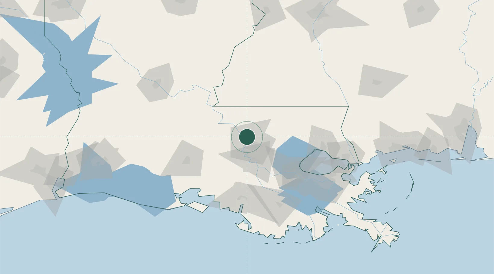
Baton Rouge
30.5645°, -91.1750°
227,470
Population
2
Transport functions
Transport Functions
Port
Airport
Hub Profile
Place type
Regional capital
Region
Louisiana
Population
227,470
Time zone
America/Chicago
Elevation
14 m
Logistics facilities
1
Location
Nearby Logistics Neighbours
Cities
- 1Baker2 km
- 2Slaughter17 km
- 3Port Allen18 km
- 4Lakeland20 km
- 5Walker, Livingston31 km
Ports
- 1Convent69 km
- 2St. James73 km
- 3Reserve83 km
- 4Morgan City96 km
- 5Madisonville100 km
Airports
Trade Zones
DatabookThe Record of Consolidated Knowledge
United States beyond logistics?