UN/LOCODE hub · United States
USMFC
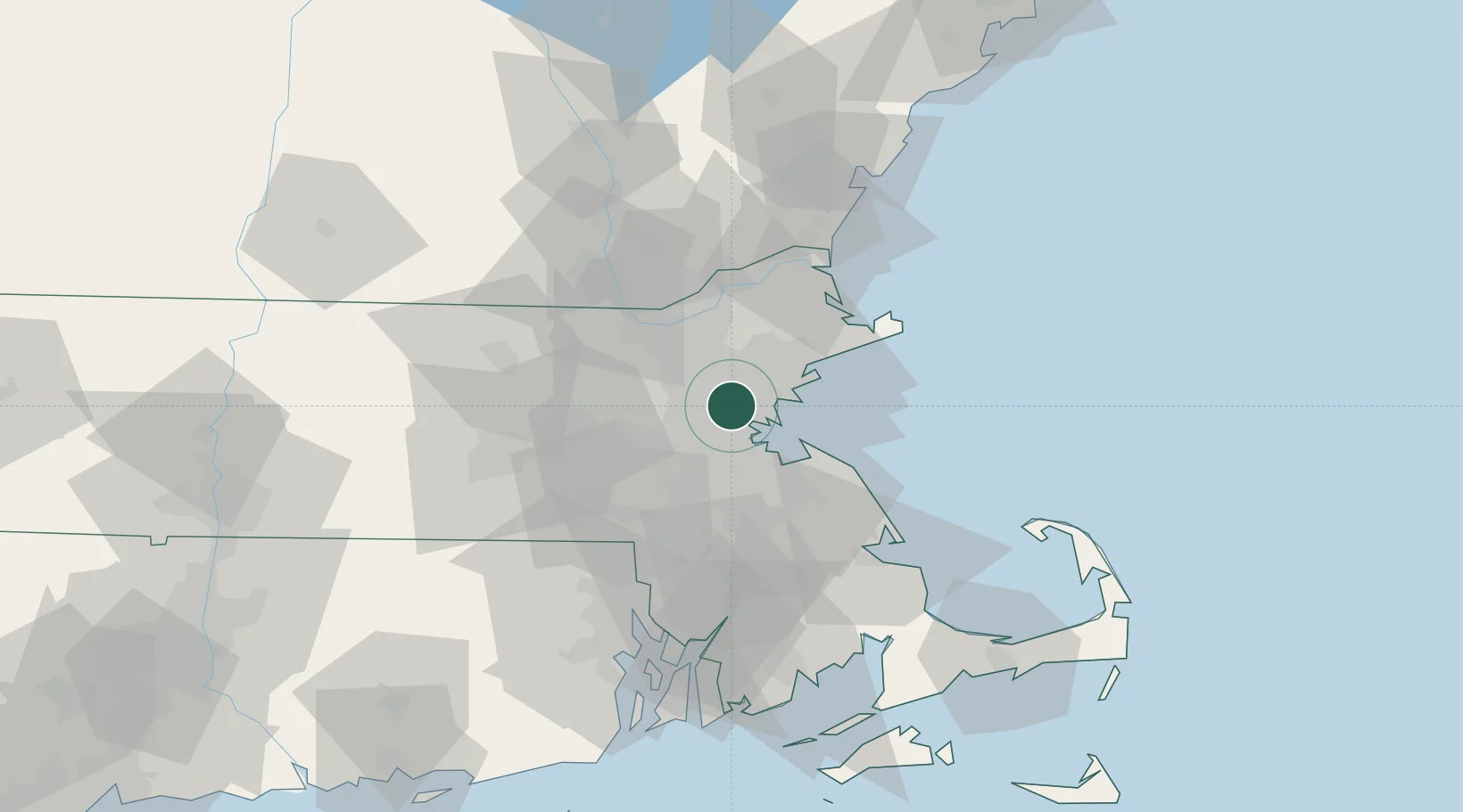
Medford
42.4167°, -71.1000°
57,403
Population
2
Transport functions
Transport Functions
Rail
Road
Hub Profile
Place type
Populated place
Region
Massachusetts
Population
57,403
Time zone
America/New_York
Elevation
5 m
Location
Nearby Logistics Neighbours
DatabookThe Record of Consolidated Knowledge
United States beyond logistics?