UN/LOCODE hub · United States
USDZM
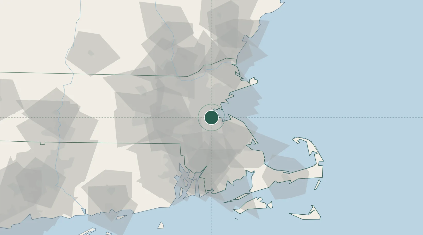
Dorchester
42.2833°, -71.0667°
97,826
Population
2
Transport functions
Transport Functions
Port
Road
Hub Profile
Place type
Populated place
Region
Massachusetts
Population
97,826
Time zone
America/New_York
Elevation
36 m
Location
Nearby Logistics Neighbours
Cities
- 1Boston9 km
- 2Eliot12 km
- 3Newtonville13 km
- 4Medford15 km
- 5West Newton16 km
Ports
- 1Boston8 km
- 2Quincy9 km
- 3Lynn21 km
- 4Marblehead30 km
- 5Salem30 km
Airports
Trade Zones
DatabookThe Record of Consolidated Knowledge
United States beyond logistics?