Medium airport · United States

Beverly Regional AirportKBVY
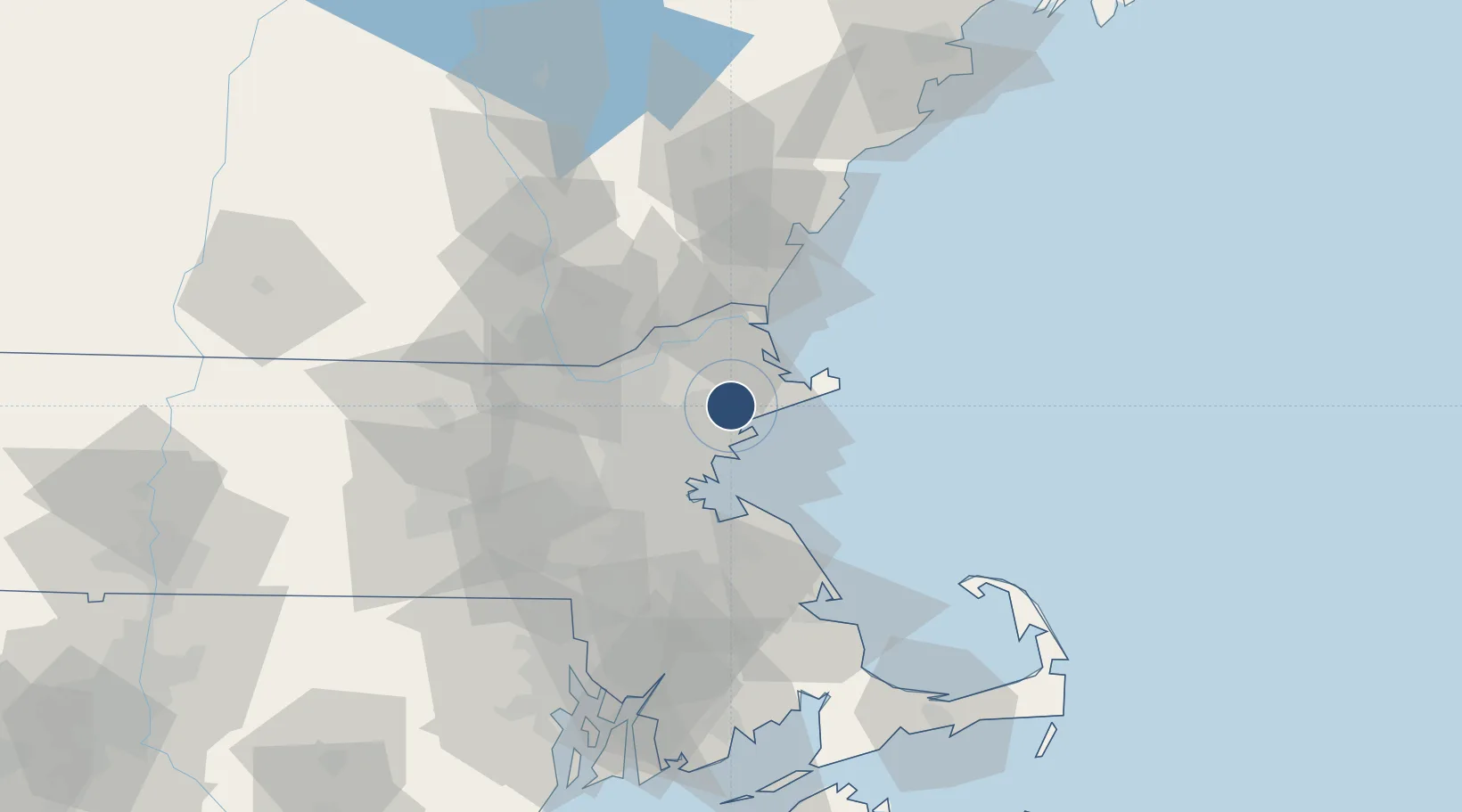
42.5842°, -70.9165°
5,001 ft
Longest runway
2
Runways
107 ft
Elevation

Runway & Layout

Beverly Regional Airport runway & taxiway layout
Runway & taxiway layout — OpenStreetMap (ODbL) / OurAirports

Radio Frequencies

ATIS
119.2 MHz
TWR
125.2 MHz
GND
121.6 MHz
CTAF
125.2 MHz
A/D
124.4 MHz
BOSTON APP/DEP
UNIC
122.95 MHz
UNICOM
OurAirports

Navaids

TOF NDB Topsfield 269 kHz
OurAirports

Runways · 2

RunwayDimensions SurfaceTrue headingLit
16/34 5,001 × 100ft Asphalt 141°
09/27 4,755 × 100ft Asphalt 074°
OurAirports

Airport Specifications

IATA code
BVY
OurAirports
ICAO code
KBVY
OurAirports
Airport class
Medium airport
OurAirports
Scheduled service
No
OurAirports
Runway surface
Asphalt
OurAirports
Served city
Beverly / Danvers
OurAirports

Location

Location of KBVY
Natural Earth 10m (public domain) · Massachusetts · KBVY · 42.58, -70.92GoogleOSMYandex

Nearby Logistics Neighbours

Airports
  1. 1Lawrence Municipal Airport23 km
  2. 2Boston Logan International Airport26 km
  3. 3Laurence G Hanscom Field33 km
  4. 4Norwood Memorial Airport49 km
  5. 5Portsmouth International Airport at Pease55 km
Nearest neighbours — logibook spatial index (haversine) over the source coordinates
Cities
  1. 1South Hamilton4 km
  2. 2Topsfield6 km
  3. 3Marblehead11 km
  4. 4Lynnfield11 km
  5. 5Essex12 km
Nearest neighbours — logibook spatial index (haversine) over the source coordinates
Ports
  1. 1Beverly6 km
  2. 2Salem8 km
  3. 3Marblehead11 km
  4. 4Lynn15 km
  5. 5Newburyport26 km
Nearest neighbours — logibook spatial index (haversine) over the source coordinates
Trade Zones
  1. 1FTZ No. 027 Boston34 km
  2. 2FTZ No. 081 Portsmouth53 km
  3. 3FTZ No. 105 Providence and North Kingstown96 km
  4. 4FTZ No. 028 New Bedford103 km
  5. 5FTZ No. 268 Brattleboro141 km
Nearest neighbours — logibook spatial index (haversine) over the source coordinates
DatabookThe Record of Consolidated Knowledge
United States beyond logistics?
Browse databook

All Sources

AirportsOurAirports
Public domain
Portsthe NGA World Port Index
Public domain (US gov)
LocationsUN/LOCODE
UN/LOCODE — free
Trade Zonesthe World Bank SEZ database
CC BY 4.0
Trade ZonesOpen Zone Map
CC BY
InfrastructureOpenStreetMap
ODbL 1.0
← United States airports