UN/LOCODE hub · United States
USET5

Eliot

42.3167°, -71.2000°
1
Transport functions

Transport Functions

Multimodal
UN/LOCODE

Hub Profile

Place type
Populated place
GeoNames
Region
Massachusetts
GeoNames
Time zone
America/New_York
GeoNames
Elevation
44 m
GeoNames

Location

Location of USET5
Natural Earth 10m (public domain) · Massachusetts · USET5 · 42.32, -71.20GoogleOSMYandex

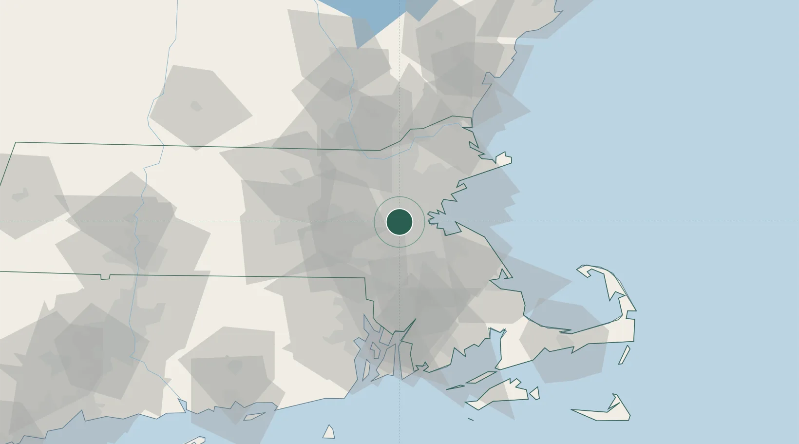
Nearby Logistics Neighbours

Cities
  1. 1Newtonville4 km
  2. 2Auburndale5 km
  3. 3West Newton5 km
  4. 4Boston9 km
  5. 5Dover12 km
Nearest neighbours — logibook spatial index (haversine) over the source coordinates
Ports
  1. 1Boston13 km
  2. 2Quincy21 km
  3. 3Lynn25 km
  4. 4Salem34 km
  5. 5Marblehead35 km
Nearest neighbours — logibook spatial index (haversine) over the source coordinates
Airports
  1. 1Norwood Memorial Airport14 km
  2. 2Boston Logan International Airport17 km
  3. 3Laurence G Hanscom Field19 km
  4. 4Beverly Regional Airport38 km
  5. 5Lawrence Municipal Airport45 km
Nearest neighbours — logibook spatial index (haversine) over the source coordinates
Trade Zones
  1. 1FTZ No. 027 Boston7 km
  2. 2FTZ No. 105 Providence and North Kingstown60 km
  3. 3FTZ No. 028 New Bedford75 km
  4. 4FTZ No. 081 Portsmouth87 km
  5. 5FTZ No. 201 Holyoke125 km
Nearest neighbours — logibook spatial index (haversine) over the source coordinates
DatabookThe Record of Consolidated Knowledge
United States beyond logistics?
Browse databook

All Sources

LocationsUN/LOCODE
UN/LOCODE — free
Portsthe NGA World Port Index
Public domain (US gov)
AirportsOurAirports
Public domain
Trade Zonesthe World Bank SEZ database
CC BY 4.0
Trade ZonesOpen Zone Map
CC BY
← United States locations