UN/LOCODE hub · United States
USIHT
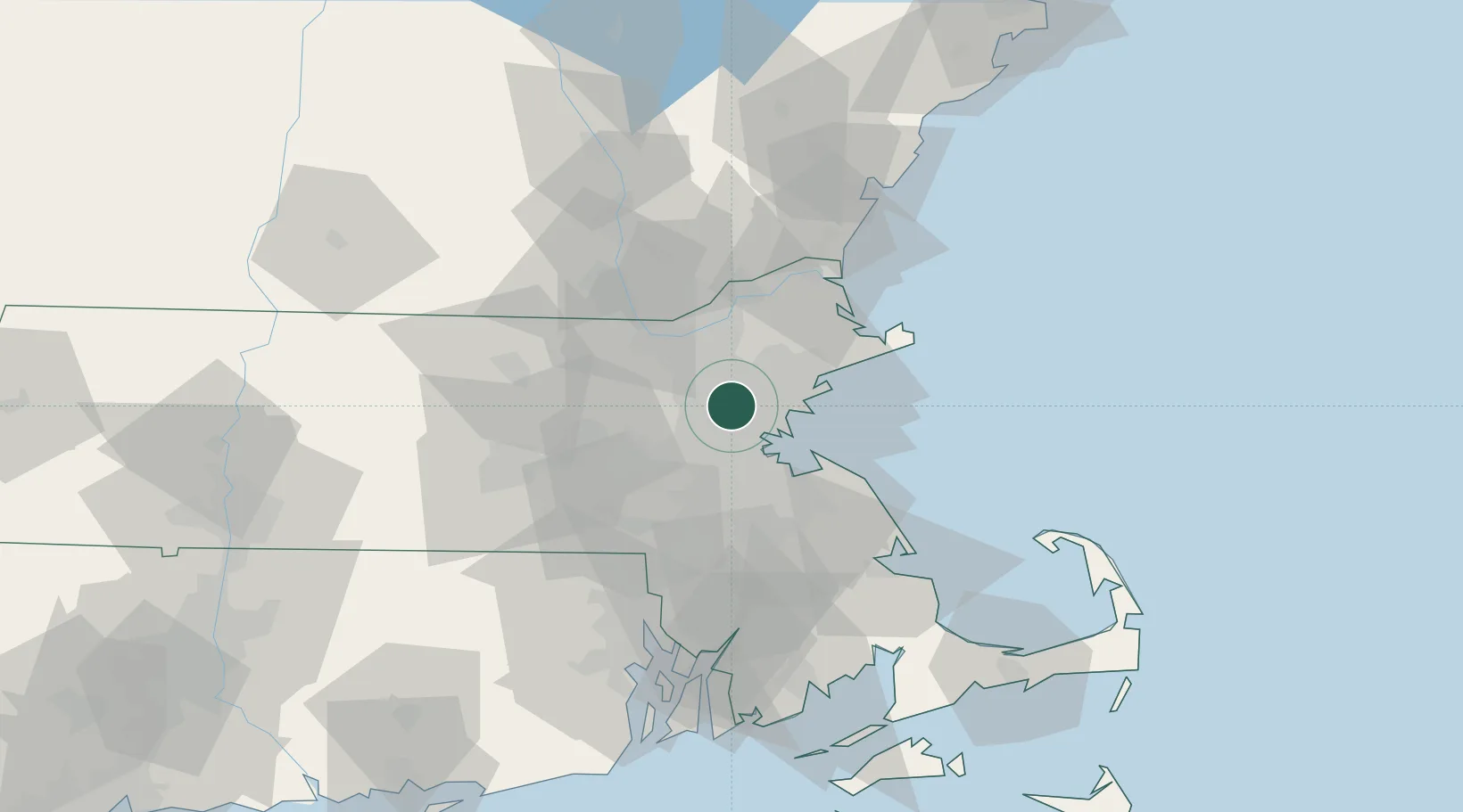
Winchester
42.4500°, -71.1333°
21,374
Population
2
Transport functions
Transport Functions
Rail
Road
Hub Profile
Place type
Populated place
Region
Massachusetts
Population
21,374
Time zone
America/New_York
Elevation
6 m
Location
Nearby Logistics Neighbours
Cities
- 1Medford5 km
- 2Boston10 km
- 3Lynnfield12 km
- 4Newtonville12 km
- 5West Newton14 km
Ports
- 1Boston13 km
- 2Lynn15 km
- 3Salem22 km
- 4Beverly23 km
- 5Marblehead24 km
Airports
Trade Zones
DatabookThe Record of Consolidated Knowledge
United States beyond logistics?