UN/LOCODE hub · United States
USBOS
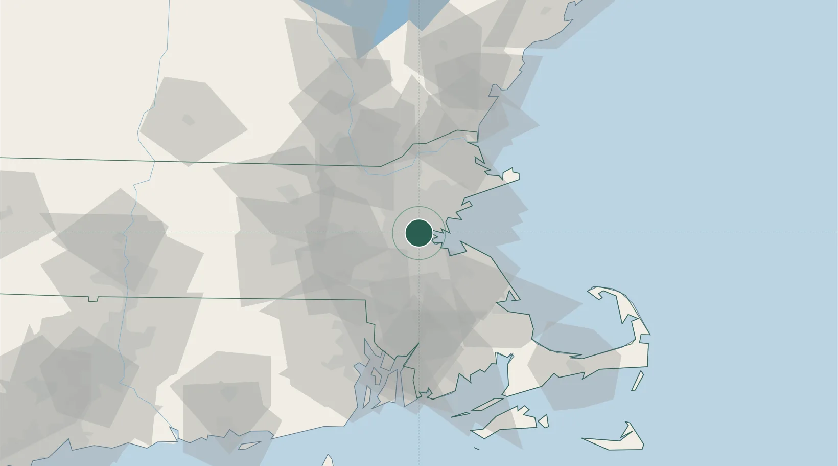
Boston
42.3594°, -71.1114°
653,833
Population
3
Transport functions
1
Container terminals
Transport Functions
Port
Airport
Postal
Hub Profile
Place type
Regional capital
Region
Massachusetts
Population
653,833
Time zone
America/New_York
Elevation
14 m
Logistics facilities
24
Container terminals
1
Location
Nearby Logistics Neighbours
Cities
- 1Medford6 km
- 2Newtonville7 km
- 3Eliot9 km
- 4Dorchester9 km
- 5West Newton10 km
Ports
- 1Lynn17 km
- 2Quincy17 km
- 3Salem26 km
- 4Marblehead27 km
- 5Beverly27 km
Airports
Trade Zones
DatabookThe Record of Consolidated Knowledge
United States beyond logistics?