Large airport · United States
Boston Logan International AirportKBOS
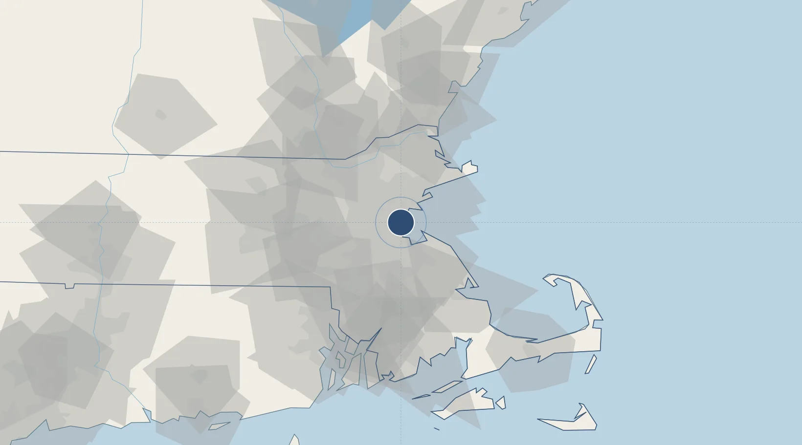
42.3620°, -71.0079°
10,083 ft
Longest runway
6
Runways
20 ft
Elevation
Runway & Layout

Radio Frequencies
ATIS
135 MHz
TWR
128.8 MHz
BOSTON TWR WEST
TWR
132.225 MHz
BOSTON TWR EAST
GND
121.75 MHz
BOSTON GROUND
GND
121.9 MHz
CLD
121.65 MHz
CLNC DEL
APP
118.25 MHz
BOSTON APP NORTH
APP
120.6 MHz
BOSTON APP WEST
APP
127.2 MHz
BOSTON APP SOUTH
DEP
133 MHz
BOSTON DEP
GTE
134.05 MHz
GATE
RDO
122.4 MHz
BRIDGEPORT RDO
UNIC
122.95 MHz
UNICOM
Navaids
BO NDB Miltt 375 kHz
BOS VORTAC Boston 112.70 MHz
LI NDB Hullz 346 kHz
LQ NDB Lyndy 382 kHz
Runways · 6
| Runway | Dimensions | Surface | True heading | Lit |
|---|---|---|---|---|
| 15R/33L | 10,083 × 150ft | Asphalt | 135° | ✓ |
| 04R/22L | 10,006 × 150ft | Asphalt | 020° | ✓ |
| 04L/22R | 7,864 × 150ft | Asphalt | 020° | ✓ |
| 09/27 | 7,001 × 150ft | Asphalt | 077° | ✓ |
| 14/32 | 5,000 × 100ft | ASPH-G | 125° | — |
| 15L/33R | 2,557 × 100ft | Asphalt | 135° | ✓ |
Airport Specifications
IATA code
BOS
ICAO code
KBOS
Airport class
Large airport
Scheduled service
Yes
Runway surface
Asphalt
Served city
Boston
Location
Nearby Logistics Neighbours
Airports
Cities
- 1Boston9 km
- 2Medford10 km
- 3Dorchester10 km
- 4Winchester14 km
- 5Newtonville16 km
Ports
- 1Boston4 km
- 2Lynn11 km
- 3Quincy13 km
- 4Salem20 km
- 5Marblehead20 km
Trade Zones
- 1FTZ No. 027 Boston10 km
- 2FTZ No. 105 Providence and North Kingstown71 km
- 3FTZ No. 028 New Bedford78 km
- 4FTZ No. 081 Portsmouth78 km
- 5FTZ No. 201 Holyoke141 km
DatabookThe Record of Consolidated Knowledge
United States beyond logistics?