Medium airport · United States

Lawrence Municipal AirportKLWM
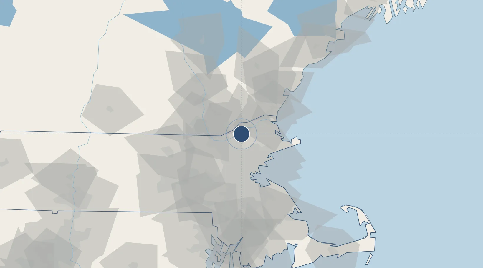
42.7172°, -71.1234°
5,001 ft
Longest runway
2
Runways
148 ft
Elevation

Runway & Layout

Lawrence Municipal Airport runway & taxiway layout
Runway & taxiway layout — OpenStreetMap (ODbL) / OurAirports

Radio Frequencies

ATIS
126.75 MHz
ASOS
126.75 MHz
TWR
119.25 MHz
GND
124.3 MHz
CLD
124.3 MHz
CLNC DEL
CTAF
119.25 MHz
A/D
124.4 MHz
BOSTON APP/DEP
RDO
112.5 MHz
BRIDGEPORT RDO
UNIC
122.8 MHz
UNICOM
OurAirports

Navaids

LW NDB Haget 402 kHz
OurAirports

Runways · 2

RunwayDimensions SurfaceTrue headingLit
05/23 5,001 × 100ft Asphalt 038°
14/32 3,654 × 100ft Asphalt 123°
OurAirports

Airport Specifications

IATA code
LWM
OurAirports
ICAO code
KLWM
OurAirports
Airport class
Medium airport
OurAirports
Scheduled service
No
OurAirports
Runway surface
Asphalt
OurAirports
Served city
Lawrence
OurAirports

Location

Location of KLWM
Natural Earth 10m (public domain) · Massachusetts · KLWM · 42.72, -71.12GoogleOSMYandex

Nearby Logistics Neighbours

Airports
  1. 1Beverly Regional Airport23 km
  2. 2Laurence G Hanscom Field31 km
  3. 3Manchester-Boston Regional Airport35 km
  4. 4Boston Logan International Airport41 km
  5. 5Portsmouth International Airport at Pease47 km
Nearest neighbours — logibook spatial index (haversine) over the source coordinates
Cities
  1. 1Bradford6 km
  2. 2Topsfield17 km
  3. 3Newton18 km
  4. 4Rowley20 km
  5. 5Lynnfield22 km
Nearest neighbours — logibook spatial index (haversine) over the source coordinates
Ports
  1. 1Newburyport24 km
  2. 2Beverly28 km
  3. 3Salem30 km
  4. 4Marblehead33 km
  5. 5Lynn33 km
Nearest neighbours — logibook spatial index (haversine) over the source coordinates
Trade Zones
  1. 1FTZ No. 081 Portsmouth44 km
  2. 2FTZ No. 027 Boston45 km
  3. 3FTZ No. 105 Providence and North Kingstown104 km
  4. 4FTZ No. 028 New Bedford118 km
  5. 5FTZ No. 268 Brattleboro122 km
Nearest neighbours — logibook spatial index (haversine) over the source coordinates
DatabookThe Record of Consolidated Knowledge
United States beyond logistics?
Browse databook

All Sources

AirportsOurAirports
Public domain
Portsthe NGA World Port Index
Public domain (US gov)
LocationsUN/LOCODE
UN/LOCODE — free
Trade Zonesthe World Bank SEZ database
CC BY 4.0
Trade ZonesOpen Zone Map
CC BY
InfrastructureOpenStreetMap
ODbL 1.0
← United States airports