Transport Functions
Rail
Road
Hub Profile
Place type
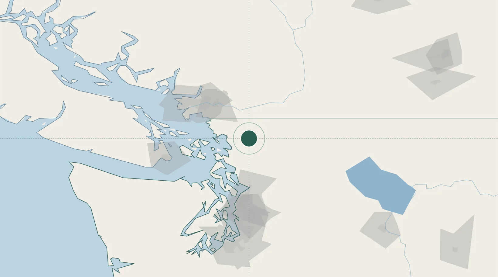
Populated place
Region
Washington
Population
246
Time zone
America/Los_Angeles
Elevation
93 m
Location
Nearby Logistics Neighbours
Cities
- 1Bellingham21 km
- 2Sedro Woolley24 km
- 3Everson24 km
- 4Nooksack26 km
- 5Mount Vernon34 km
Ports
- 1Bellingham22 km
- 2Anacortes38 km
- 3Cherry Point44 km
- 4Mission City48 km
- 5Blaine51 km
Airports
Trade Zones
- 1FTZ No. 129 Bellingham25 km
- 2FTZ No. 128 Whatcom County28 km
- 3FTZ No. 085 Everett80 km
- 4FTZ Vancouver Island89 km
- 5FTZ No. 005 Seattle125 km
DatabookThe Record of Consolidated Knowledge
United States beyond logistics?