UN/LOCODE hub · United States
USKKE
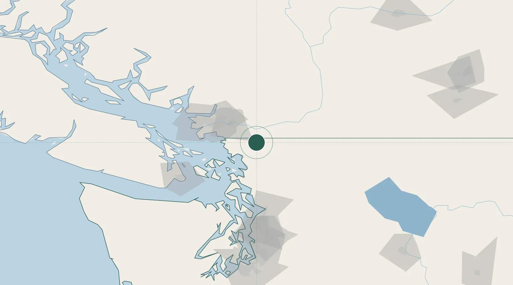
Nooksack
48.9333°, -122.3167°
1,480
Population
2
Transport functions
Transport Functions
Rail
Road
Hub Profile
Place type
Populated place
Region
Washington
Population
1,480
Time zone
America/Los_Angeles
Elevation
26 m
Location
Nearby Logistics Neighbours
Cities
- 1Everson2 km
- 2Mission22 km
- 3Bellingham23 km
- 4Custer23 km
- 5Acme26 km
Ports
- 1Mission City24 km
- 2Bellingham24 km
- 3Blaine33 km
- 4Cherry Point33 km
- 5Port Coquitlam47 km
Airports
Trade Zones
- 1FTZ No. 128 Whatcom County22 km
- 2FTZ No. 129 Bellingham25 km
- 3FTZ Vancouver Island68 km
- 4FTZ No. 085 Everett104 km
- 5FTZ No. 005 Seattle147 km
DatabookThe Record of Consolidated Knowledge
United States beyond logistics?