Transport Functions
Rail
Road
Hub Profile
Place type
Populated place
Region
South Carolina
Population
981
Time zone
America/New_York
Elevation
12 m
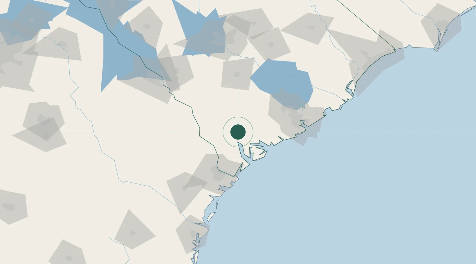
Location
Nearby Logistics Neighbours
Cities
- 1Early Branch11 km
- 2Varnville28 km
- 3Ruffin36 km
- 4Clyo45 km
- 5Adams Run47 km
Ports
- 1Beaufort33 km
- 2Port Royal39 km
- 3Savannah70 km
- 4Charleston88 km
- 5Darien156 km
Airports
Trade Zones
- 1FTZ No. 021 Dorchester County45 km
- 2FTZ No. 104 Savannah70 km
- 3FTZ No. 127 West Columbia148 km
- 4FTZ No. 144 Brunswick181 km
- 5FTZ No. 038 Spartanburg County277 km
DatabookThe Record of Consolidated Knowledge
United States beyond logistics?