Transport Functions
Rail
Road
Multimodal
Hub Profile
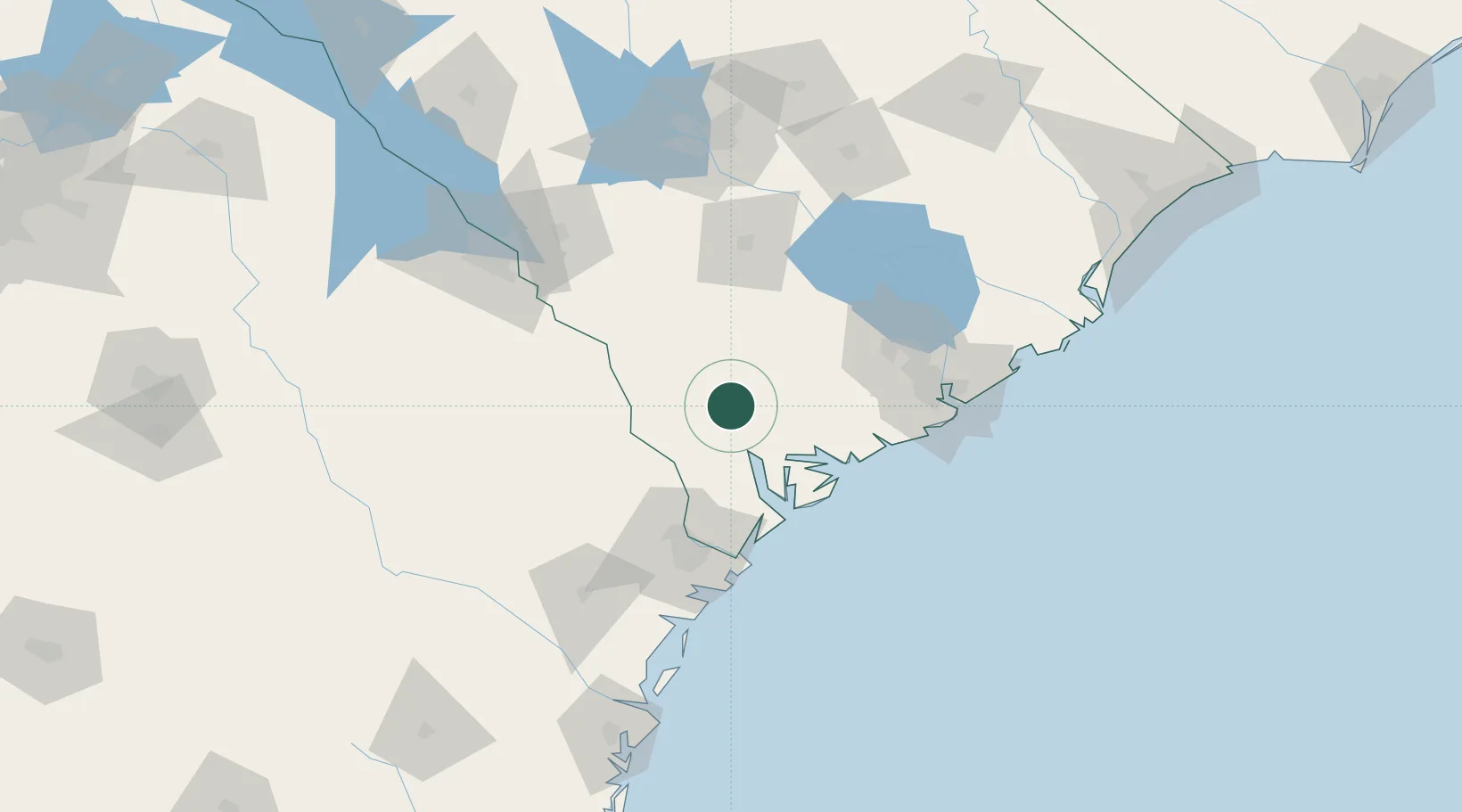
Place type
Populated place
Region
South Carolina
Time zone
America/New_York
Elevation
22 m
Location
Nearby Logistics Neighbours
Ports
- 1Beaufort43 km
- 2Port Royal49 km
- 3Savannah76 km
- 4Charleston95 km
- 5Darien161 km
Airports
Trade Zones
- 1FTZ No. 021 Dorchester County42 km
- 2FTZ No. 104 Savannah75 km
- 3FTZ No. 127 West Columbia139 km
- 4FTZ No. 144 Brunswick185 km
- 5FTZ No. 038 Spartanburg County267 km
DatabookThe Record of Consolidated Knowledge
United States beyond logistics?