Medium airport · United States
Beaufort MCAS - Merritt FieldKNBC
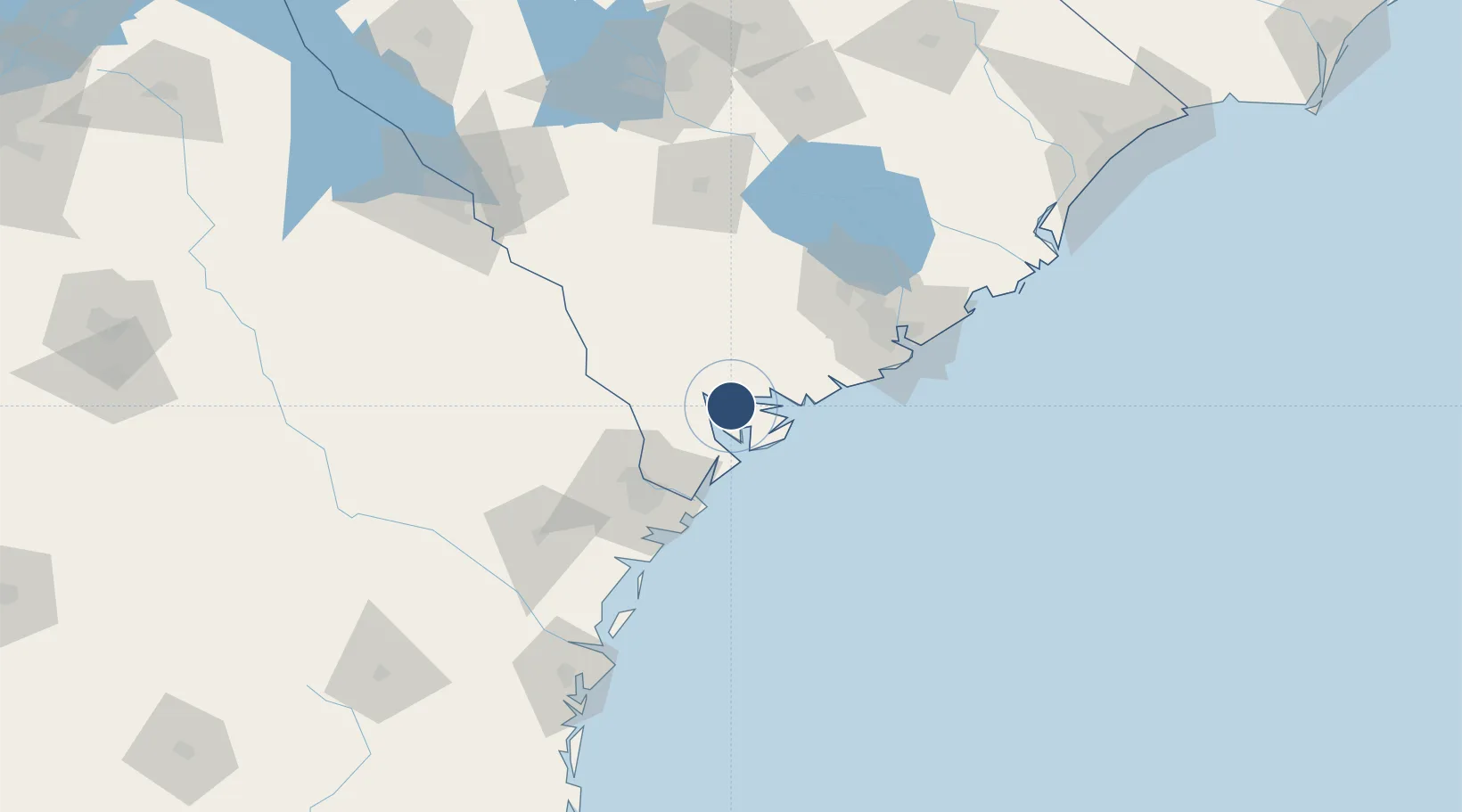
32.4774°, -80.7232°
12,202 ft
Longest runway
2
Runways
37 ft
Elevation
Runway & Layout

Radio Frequencies
ATIS
27.8 MHz
TWR
119.05 MHz
A/D
118.45 MHz
APP/DEP
GCCD
128.15 MHz
GND/CLNC DEL
OPS
28.18 MHz
BASE OPS
PMSV
26.45 MHz
PMSV METRO
Navaids
NBC TACAN Beaufort 110.50 MHz
Runways · 2
| Runway | Dimensions | Surface | True heading | Lit |
|---|---|---|---|---|
| 05/23 | 12,202 × 200ft | Asphalt / concrete | 042° | ✓ |
| 14/32 | 8,001 × 200ft | Asphalt / concrete | 135° | ✓ |
Airport Specifications
ICAO code
KNBC
Airport class
Medium airport
Scheduled service
No
Runway surface
Asphalt / concrete
Served city
Beaufort
Location
Nearby Logistics Neighbours
Airports
Cities
- 1Yemassee26 km
- 2Early Branch36 km
- 3Adams Run44 km
- 4Clyo51 km
- 5Varnville52 km
Ports
- 1Beaufort7 km
- 2Port Royal13 km
- 3Savannah55 km
- 4Charleston83 km
- 5Darien141 km
Trade Zones
- 1FTZ No. 104 Savannah55 km
- 2FTZ No. 021 Dorchester County67 km
- 3FTZ No. 144 Brunswick165 km
- 4FTZ No. 127 West Columbia173 km
- 5FTZ No. 064 Jacksonville265 km
DatabookThe Record of Consolidated Knowledge
United States beyond logistics?