UN/LOCODE hub · United States
USUAJ

Adams Run

32.7167°, -80.3500°
2
Transport functions

Transport Functions

Road
Multimodal
UN/LOCODE

Hub Profile

Place type
Populated place
GeoNames
Region
South Carolina
GeoNames
Time zone
America/New_York
GeoNames
Elevation
18 m
GeoNames

Location

Location of USUAJ
Natural Earth 10m (public domain) · South Carolina · USUAJ · 32.72, -80.35GoogleOSMYandex

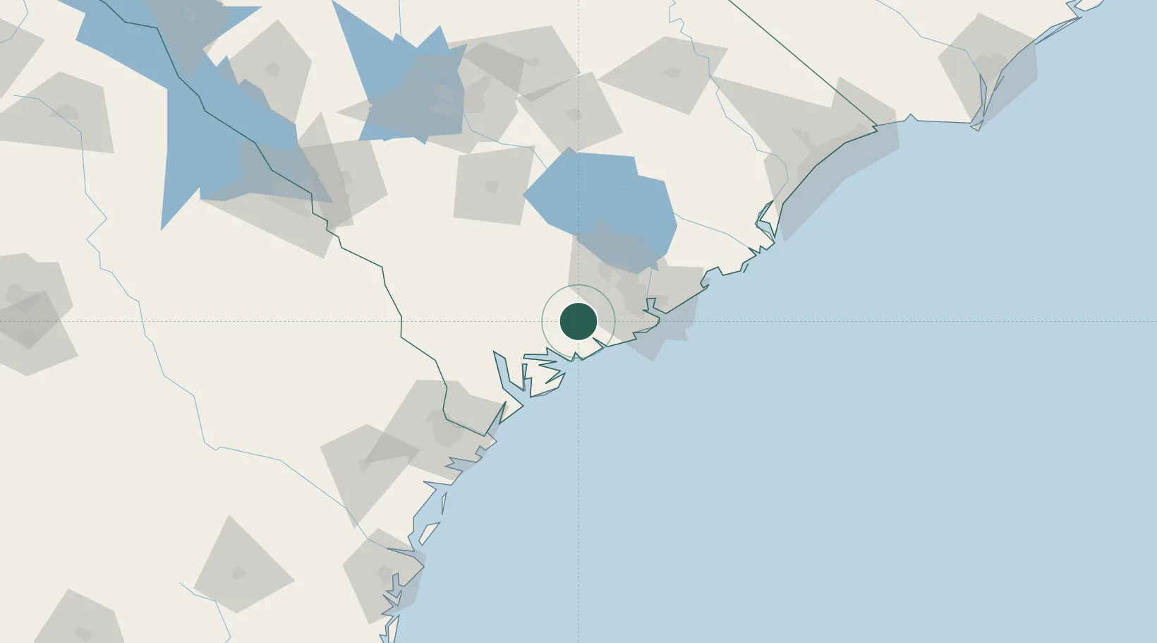
Nearby Logistics Neighbours

Cities
  1. 1Ravenel11 km
  2. 2Wadmalaw Island18 km
  3. 3North Charleston38 km
  4. 4Charleston Heights39 km
  5. 5Charleston39 km
Nearest neighbours — logibook spatial index (haversine) over the source coordinates
Ports
  1. 1Charleston41 km
  2. 2Beaufort43 km
  3. 3Port Royal50 km
  4. 4Savannah99 km
  5. 5Georgetown123 km
Nearest neighbours — logibook spatial index (haversine) over the source coordinates
Airports
  1. 1Charleston International Airport35 km
  2. 2Beaufort MCAS - Merritt Field44 km
  3. 3Hilton Head Airport64 km
  4. 4Orangeburg Municipal Airport95 km
  5. 5Savannah Hilton Head International Airport103 km
Nearest neighbours — logibook spatial index (haversine) over the source coordinates
Trade Zones
  1. 1FTZ No. 021 Dorchester County53 km
  2. 2FTZ No. 104 Savannah99 km
  3. 3FTZ No. 127 West Columbia159 km
  4. 4FTZ No. 144 Brunswick205 km
  5. 5FTZ No. 057 Mecklenburg County291 km
Nearest neighbours — logibook spatial index (haversine) over the source coordinates
DatabookThe Record of Consolidated Knowledge
United States beyond logistics?
Browse databook

All Sources

LocationsUN/LOCODE
UN/LOCODE — free
Portsthe NGA World Port Index
Public domain (US gov)
AirportsOurAirports
Public domain
Trade Zonesthe World Bank SEZ database
CC BY 4.0
Trade ZonesOpen Zone Map
CC BY
← United States locations