Transport Functions
Port
Road
Hub Profile
Place type
Populated place
Region
South Carolina
Time zone
America/New_York
Elevation
6 m
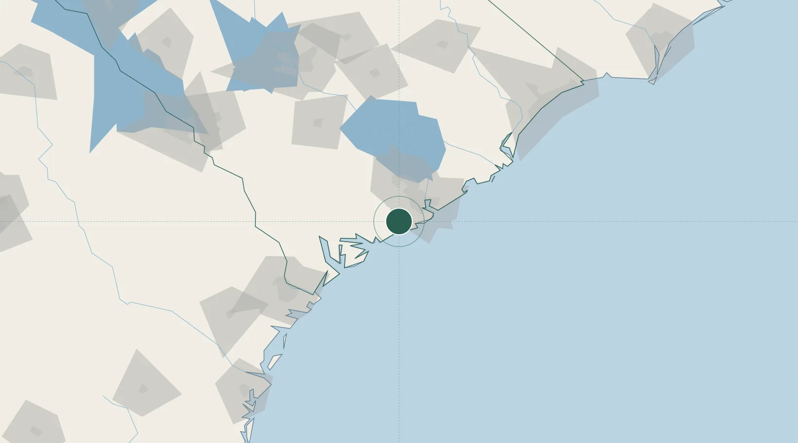
Location
Nearby Logistics Neighbours
Cities
- 1Ravenel14 km
- 2Adams Run18 km
- 3Charleston Heights28 km
- 4Charleston29 km
- 5North Charleston30 km
Ports
- 1Charleston27 km
- 2Beaufort54 km
- 3Port Royal59 km
- 4Savannah108 km
- 5Georgetown113 km
Airports
Trade Zones
- 1FTZ No. 021 Dorchester County69 km
- 2FTZ No. 104 Savannah108 km
- 3FTZ No. 127 West Columbia172 km
- 4FTZ No. 144 Brunswick210 km
- 5FTZ No. 057 Mecklenburg County300 km
DatabookThe Record of Consolidated Knowledge
United States beyond logistics?