Transport Functions
Port
Multimodal
Hub Profile
Place type
Populated place
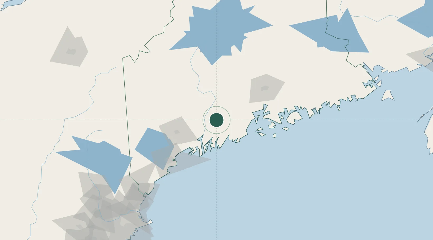
Region
Maine
Population
2,291
Time zone
America/New_York
Elevation
90 m
Location
Nearby Logistics Neighbours
Cities
- 1Vassalboro19 km
- 2North Vassalboro21 km
- 3Union26 km
- 4Newcastle30 km
- 5Dresden30 km
Ports
- 1Augusta16 km
- 2Gardiner18 km
- 3Thomaston40 km
- 4Camden41 km
- 5Friendship42 km
Airports
- 1Augusta State Airport19 km
- 2Knox County Regional Airport46 km
- 3Islesboro Airport52 km
- 4Brunswick Executive Airport54 km
- 5Witherspoons Airport57 km
Trade Zones
- 1FTZ No. 186 Waterville29 km
- 2FTZ No. 263 Auburn56 km
- 3FTZ No. 058 Bangor82 km
- 4FTZ No. 081 Portsmouth172 km
- 5FTZ No. 027 Boston254 km
DatabookThe Record of Consolidated Knowledge
United States beyond logistics?