Medium airport · United States
Birchwood AirportPABV
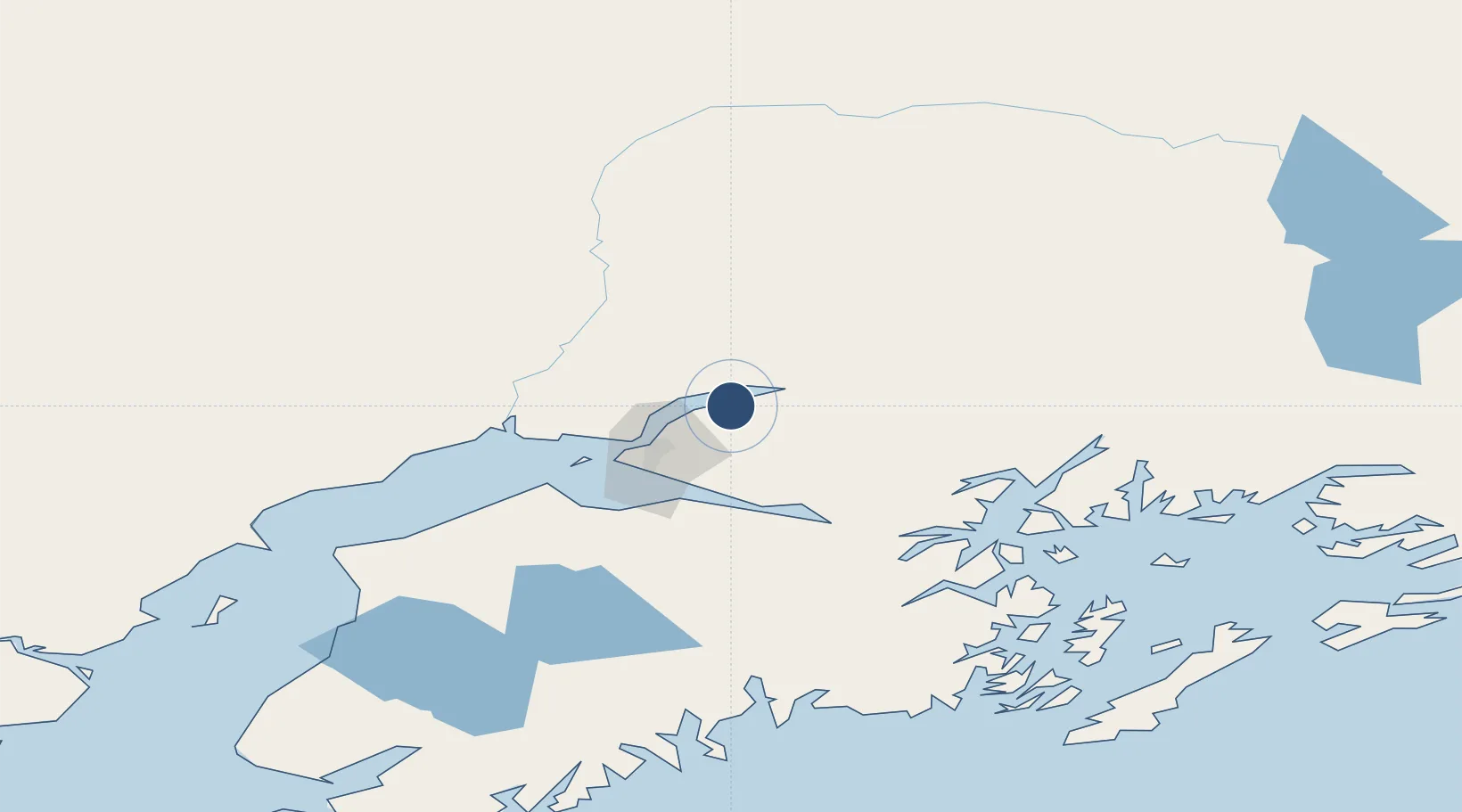
61.4165°, -149.5070°
4,012 ft
Longest runway
2
Runways
83 ft
Elevation
Runway & Layout

Radio Frequencies
AWOS
135.55 MHz
AWOS 3
CNTR
132.3 MHz
ANCHORAGE CNTR
UNIC
123 MHz
CTAF/UNICOM
Runways · 2
| Runway | Dimensions | Surface | True heading | Lit |
|---|---|---|---|---|
| 02L/20R | 4,012 × 100ft | Asphalt | 039° | ✓ |
| 02R/20L | 1,802 × 50ft | GRV | 024° | — |
Airport Specifications
ICAO code
PABV
Airport class
Medium airport
Scheduled service
No
Runway surface
Asphalt
Served city
Birchwood
Location
Nearby Logistics Neighbours
Airports
- 1Wasilla Airport17 km
- 2Elmendorf Air Force Base24 km
- 3Merrill Field29 km
- 4Warren "Bud" Woods Palmer Municipal Airport30 km
- 5Wasilla Creek Airpark33 km
Cities
- 1Elmendorf Air Force Base24 km
- 2Port MacKenzie28 km
- 3Anchorage28 km
- 4Houston29 km
- 5Susitna54 km
Trade Zones
- 1FTZ No. 160 Anchorage28 km
- 2FTZ No. 108 Valdez171 km
- 3FTZ No. 195 Fairbanks392 km
- 4FTZ No. 232 Kodiak498 km
- 5PrInce George Logistics Park1779 km
DatabookThe Record of Consolidated Knowledge
United States beyond logistics?