Medium airport · United States

Elmendorf Air Force BasePAED

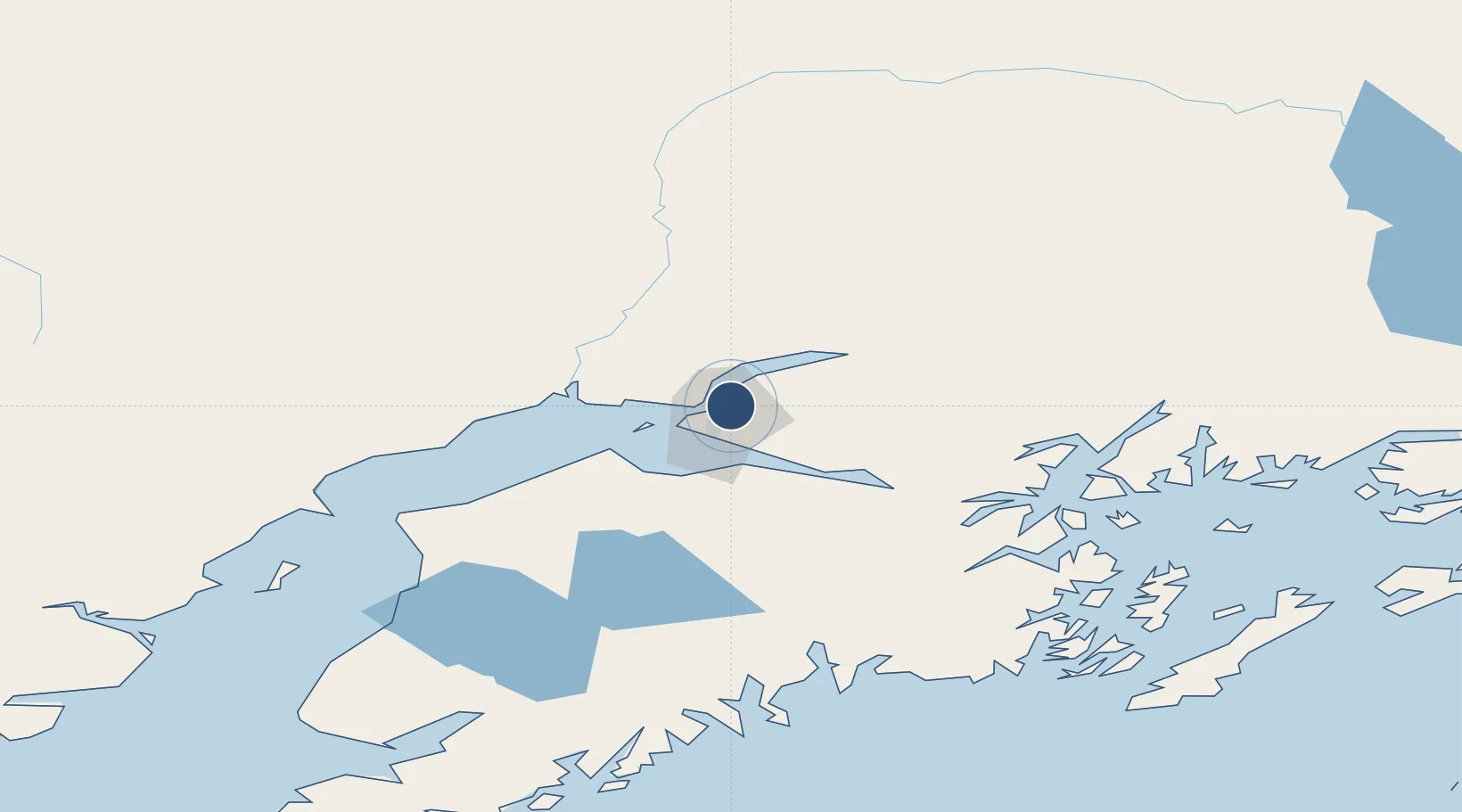
61.2517°, -149.8071°
10,000 ft
Longest runway
2
Runways
212 ft
Elevation

Runway & Layout

Elmendorf Air Force Base runway & taxiway layout
Runway & taxiway layout — OpenStreetMap (ODbL) / OurAirports

Radio Frequencies

ATIS
124.3 MHz
TWR
127.2 MHz
GND
121.8 MHz
A/D
118.6 MHz
ANCHORAGE APP/DEP
ACP
134.1 MHz
DENALI
EMR
123.1 MHz
RESCUE COORD CNTR
OPS
38.1 MHz
PMSV
34.66 MHz
PMSV METRO
PTD
37.22 MHz
SFA
32.71 MHz
OurAirports

Navaids

EDF TACAN Elmendorf 113.40 MHz
OurAirports

Runways · 2

RunwayDimensions SurfaceTrue headingLit
06/24 10,000 × 200ft Asphalt / concrete 080°
16/34 7,493 × 150ft Asphalt 180°
OurAirports

Airport Specifications

IATA code
EDF
OurAirports
ICAO code
PAED
OurAirports
Airport class
Medium airport
OurAirports
Scheduled service
No
OurAirports
Runway surface
Asphalt / concrete
OurAirports
Served city
Anchorage
OurAirports

Location

Location of PAED
Natural Earth 10m (public domain) · Alaska · PAED · 61.25, -149.81GoogleOSMYandex

Nearby Logistics Neighbours

Airports
  1. 1Merrill Field5 km
  2. 2Ted Stevens Anchorage International Airport13 km
  3. 3Birchwood Airport24 km
  4. 4Wasilla Airport38 km
  5. 5Warren "Bud" Woods Palmer Municipal Airport54 km
Nearest neighbours — logibook spatial index (haversine) over the source coordinates
Cities
  1. 1Elmendorf Air Force Base0 km
  2. 2Anchorage4 km
  3. 3Port MacKenzie6 km
  4. 4Houston42 km
  5. 5Susitna48 km
Nearest neighbours — logibook spatial index (haversine) over the source coordinates
Ports
  1. 1Anchorage6 km
  2. 2Whittier80 km
  3. 3Nikiski107 km
  4. 4Kenai111 km
  5. 5Seward130 km
Nearest neighbours — logibook spatial index (haversine) over the source coordinates
Trade Zones
  1. 1FTZ No. 160 Anchorage5 km
  2. 2FTZ No. 108 Valdez185 km
  3. 3FTZ No. 195 Fairbanks413 km
  4. 4FTZ No. 232 Kodiak474 km
  5. 5PrInce George Logistics Park1790 km
Nearest neighbours — logibook spatial index (haversine) over the source coordinates
DatabookThe Record of Consolidated Knowledge
United States beyond logistics?
Browse databook

All Sources

AirportsOurAirports
Public domain
Portsthe NGA World Port Index
Public domain (US gov)
LocationsUN/LOCODE
UN/LOCODE — free
Trade Zonesthe World Bank SEZ database
CC BY 4.0
Trade ZonesOpen Zone Map
CC BY
InfrastructureOpenStreetMap
ODbL 1.0
← United States airports